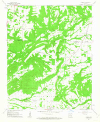
1962 Map of Formosa
USGS Topo · Published 1963About this map
Woolverton Mountain and Austin Mountain dominate the central landscape of this early 1960s survey, marking a topographical divide between the Van Buren and Conway County line. The settlement pattern follows the high ridges and valley floors, with small communities like Formosa, Austin, and Center Ridge serving as local hubs. The abundance of religious and commemorative sites, including Mountain View Ch, Sweet Home Ch, and the Woolverton Mountain Cem, suggests a deeply rooted rural society centered around family and faith.
Find a feature on this map
30 named features on this map. Tap any name to fly to it.
Don’t see what you’re looking for? This feature index may not catch every label — zoom into the map to look around manually.
Map Details
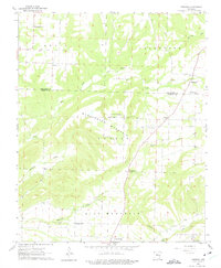
Editions of this 1962 Formosa Map
2 editions found
Other maps of this area

1892 · Marshall
USGS Topo · 1:125,000

1892 · Mountain View
USGS Topo · 1:125,000

1892 · Morrillton
USGS Topo · 1:125,000

1894 · Mountain View
USGS Topo · 1:125,000

1894 · Morrillton
USGS Topo · 1:125,000

1894 · Marshall
USGS Topo · 1:125,000

1901 · Marshall
USGS Topo · 1:125,000

1956 · Russellville
USGS Topo · 1:250,000

1961 · Bee Branch
USGS Topo · 1:62,500

1961 · Bee Branch
USGS Topo · 1:24,000