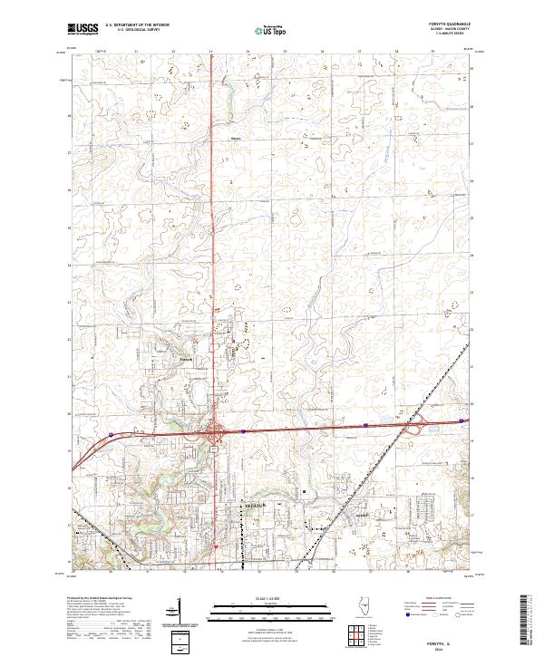
2024 Map of Forsyth
USGS Topo · Published 2024About this map
Forsyth serves as a focal point for this area of Macon County, where the transition from suburban expansion to open agricultural land is clearly visible. The landscape is defined by the winding paths of Stevens Creek and Spring Creek, which cut through the grid-like organization of rural roads such as W Hampshire Rd and E Emery Rd. To the south, the northern reaches of Decatur introduce a denser infrastructure, including the Richland Community College campus and the commercial hub around Hickory Point Mall.
Find a feature on this map
49 named features on this map. Tap any name to fly to it.
Don’t see what you’re looking for? This feature index may not catch every label — zoom into the map to look around manually.
Map Details
Editions of this 2024 Forsyth Map
This is the sole edition of this map. No revisions or reprints were ever made.
Other maps of this area

1929 · Decatur
USGS Topo · 1:62,500

1933 · Decatur
USGS Topo · 1:62,500

1954 · Niantic
USGS Topo · 1:62,500

1957 · Kenney
USGS Topo · 1:62,500

1957 · Maroa
USGS Topo · 1:62,500

1958 · Peoria
USGS Topo · 1:250,000

1958 · Decatur
USGS Topo · 1:250,000

1961 · Peoria
USGS Topo · 1:250,000

1961 · Decatur
USGS Topo · 1:250,000

1963 · Peoria
USGS Topo · 1:250,000