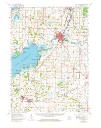
1961 Map of Fort Atkinson
USGS Topo · Published 1980About this map
The Rock River flows through the heart of this region, connecting the industrial and residential centers of Jefferson and Fort Atkinson before expanding into the wide waters of Lake Koshkonong. In the early 1960s, the landscape shows a dense network of local infrastructure, from the Chicago and North Western rail lines to numerous country schools like Royee Sch and Burr Oak Sch. The map preserves the locations of significant archaeological sites, including Sylvan Mounds near Lake Ripley and the Koshkonong Mounds overlooking the lake's eastern shore, indicating a long history of human habitation prior to modern settlement.
Find a feature on this map
91 named features on this map. Tap any name to fly to it.
Don’t see what you’re looking for? This feature index may not catch every label — zoom into the map to look around manually.
Map Details
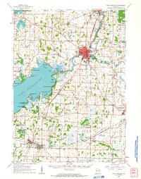
Editions of this 1961 Fort Atkinson Map
2 editions found
Other maps of this area

1890 · Sun Prairie
USGS Topo · 1:62,500

1890 · Stoughton
USGS Topo · 1:62,500

1891 · Waterloo
USGS Topo · 1:62,500

1891 · Koshkonong
USGS Topo · 1:62,500

1891 · Janesville
USGS Topo · 1:62,500

1892 · Watertown
USGS Topo · 1:62,500

1892 · Whitewater
USGS Topo · 1:62,500

1893 · Delavan
USGS Topo · 1:62,500

1893 · Whitewater
USGS Topo · 1:62,500

1893 · Janesville
USGS Topo · 1:62,500