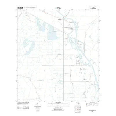
2012 Map of Fort Basinger
USGS Topo · Published 2012About this map
Fort Basinger serves as the focal point for this interior Florida landscape, where the Kissimmee River dictates the pattern of settlement and transportation. The river's winding course is marked by landmarks such as Pearce Bridge and the Doughtry Cutoff, alongside recreational and residential outposts like Kissimmee River Camp and Morgan Landing. To the west, the terrain opens into wide expanses of citrus and ranch land, evidenced by several dairy-related thoroughfares and the broad waters of Pitman Bay.
Find a feature on this map
36 named features on this map. Tap any name to fly to it.
Don’t see what you’re looking for? This feature index may not catch every label — zoom into the map to look around manually.
Map Details
Editions of this 2012 Fort Basinger Map
This is the sole edition of this map. No revisions or reprints were ever made.
Other maps of this area

1952 · Okeechobee NW
USGS Topo · 1:24,000

1953 · Taylor Creek NW
USGS Topo · 1:24,000

1953 · Basinger
USGS Topo · 1:24,000

1953 · Brighton NW
USGS Topo · 1:24,000

1953 · Fort Basinger
USGS Topo · 1:24,000

1953 · Brighton
USGS Topo · 1:24,000

1953 · Basinger SW
USGS Topo · 1:24,000

1953 · Basinger NW
USGS Topo · 1:24,000

1953 · Taylor Creek SW
USGS Topo · 1:24,000

1956 · Fort Pierce
USGS Topo · 1:250,000