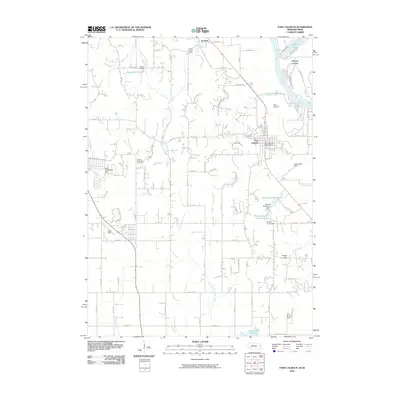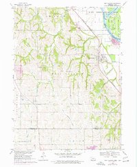
1968 Map of Fort Calhoun
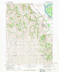
USGS Topo · Published 1977About this map
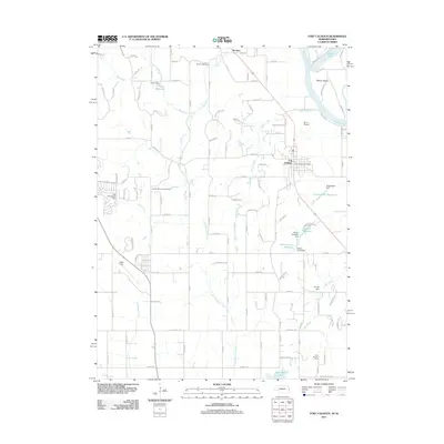
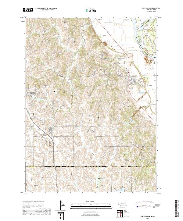
Port Calhoun and the historic settlement of De Soto anchor this survey of the Missouri River valley along the Nebraska-Iowa border. The Chicago and North Western railroad corridor dictates the local geography, skirting the base of the bluffs while the river to the east shifts through the De Soto National Wildlife Refuge and Wilson Island State Park. This landscape is characterized by a high density of rural schoolhouses, including School No 8, School No 36, and Wranek Sch, reflecting the community structure of the late 1960s before widespread district consolidation. Farther west, the terrain rises into steep loess hills dissected by drainage systems like Long Creek and Moores Creek. Notable landmarks for local researchers include the Pioneer Memorial Cem, a Quarry, and small aviation sites such as Bil-Lo Landing Strip and Flightland Airport.
Find a feature on this map
39 named features on this map. Tap any name to fly to it.
Don’t see what you’re looking for? This feature index may not catch every label — zoom into the map to look around manually.
Map Details
Editions of this 1968 Fort Calhoun Map
2 editions found
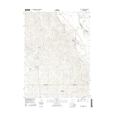
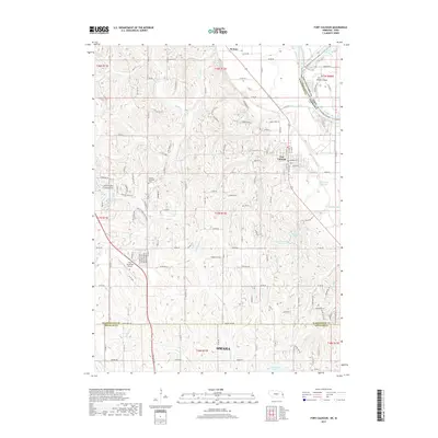
Historical Maps of Omaha Through Time
6 maps found