
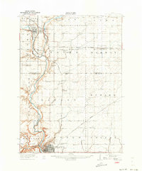
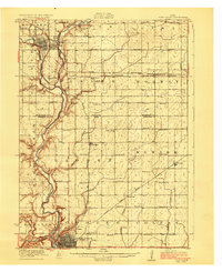
1923 Map of Fort Dodge
USGS Topo · Published 1923About this map
The Des Moines River carves a deep valley through the center of this landscape, serving as the topographical anchor for a region defined by early twentieth-century agriculture and heavy rail infrastructure. In the southern portion of the sheet, the industrial hub of Fort Dodge is shown just as its rail network reached its peak, with the Chicago Great Western and Illinois Central lines converging near the river. To the north, the smaller settlements of Humboldt and Badger are connected by the Minneapolis and St Louis tracks, which parallel the river's course.
Find a feature on this map
48 named features on this map. Tap any name to fly to it.
Don’t see what you’re looking for? This feature index may not catch every label — zoom into the map to look around manually.
Map Details
Editions of this 1923 Fort Dodge Map
3 editions found
Other maps of this area

1923 · Lehigh
USGS Topo · 1:62,500

1954 · Waterloo
USGS Topo · 1:250,000

1954 · Fort Dodge
USGS Topo · 1:250,000

1955 · Waterloo
USGS Topo · 1:250,000

1957 · Fort Dodge
USGS Topo · 1:250,000

1958 · Fort Dodge
USGS Topo · 1:250,000

1965 · Moorland
USGS Topo · 1:24,000

1965 · Fort Dodge South
USGS Topo · 1:24,000

1965 · Evanston
USGS Topo · 1:24,000

1972 · Renwick
USGS Topo · 1:24,000