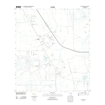
2012 Map of Fort Drum
USGS Topo · Published 2012About this map
Fort Drum and Osowaw Junction anchor this interior Florida landscape, defined by a complex network of wetlands and seasonal watercourses. The drainage pattern here is characterized by numerous sloughs and branches, including Parker Slough, Gum Slough, and Hogskin Slough, which weave between slightly elevated landforms identified as islands, such as Bear Island, Arch Island, and Hog Island. These natural features reveal the subtle topography of Okeechobee County, where water remains the primary shaper of the terrain.
Find a feature on this map
59 named features on this map. Tap any name to fly to it.
Don’t see what you’re looking for? This feature index may not catch every label — zoom into the map to look around manually.
Map Details
Editions of this 2012 Fort Drum Map
This is the sole edition of this map. No revisions or reprints were ever made.
Other maps of this area

1953 · Taylor Creek NW
USGS Topo · 1:24,000

1953 · Fort Drum
USGS Topo · 1:24,000

1953 · Fort Drum SW
USGS Topo · 1:24,000

1953 · Fort Drum NW
USGS Topo · 1:24,000

1953 · Fort Drum NE
USGS Topo · 1:24,000

1953 · Fellsmere 4 SW
USGS Topo · 1:24,000

1953 · Fellsmere 4 NW
USGS Topo · 1:24,000

1953 · Taylor Creek NE
USGS Topo · 1:24,000

1953 · Okeechobee 1 NW
USGS Topo · 1:24,000

1956 · Fort Pierce
USGS Topo · 1:250,000