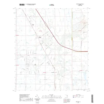
2021 Map of Fort Drum
USGS Topo · Published 2021About this map
Fort Drum and Osowaw Junction anchor this landscape where the cypress strands and sloughs of the Florida interior meet mid-century aviation and modern conservation efforts. The area is defined by its complex hydrology, with systems like Jim Green Cr and Parker Slough winding through a terrain punctuated by slightly elevated hammocks and islands, including Bear Island and Arch Island. Small-scale airfields such as Indian Hammock Airport and Lake Montaza Airport suggest the reliance on private aviation in this sparsely settled region of Okeechobee County.
Find a feature on this map
81 named features on this map. Tap any name to fly to it.
Don’t see what you’re looking for? This feature index may not catch every label — zoom into the map to look around manually.
Map Details
Editions of this 2021 Fort Drum Map
This is the sole edition of this map. No revisions or reprints were ever made.
Other maps of this area

1953 · Taylor Creek NW
USGS Topo · 1:24,000

1953 · Fort Drum
USGS Topo · 1:24,000

1953 · Fort Drum SW
USGS Topo · 1:24,000

1953 · Fort Drum NW
USGS Topo · 1:24,000

1953 · Fort Drum NE
USGS Topo · 1:24,000

1953 · Fellsmere 4 SW
USGS Topo · 1:24,000

1953 · Fellsmere 4 NW
USGS Topo · 1:24,000

1953 · Taylor Creek NE
USGS Topo · 1:24,000

1953 · Okeechobee 1 NW
USGS Topo · 1:24,000

1956 · Fort Pierce
USGS Topo · 1:250,000