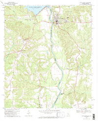
1969 Map of Fort Gaines
USGS Topo · Published 1970About this map
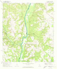
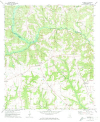
The Chattahoochee River defines the state line between Alabama and Georgia in this late 1960s survey, where the massive Walter F George Reservoir and its associated Walter F George Lock and Dam have transformed the local landscape. The town of Fort Gaines serves as a focal point on the Georgia side, home to essential community infrastructure including a hospital, the County High School, and Speight High School.
Find a feature on this map
46 named features on this map. Tap any name to fly to it.
Don’t see what you’re looking for? This feature index may not catch every label — zoom into the map to look around manually.
Map Details
Editions of this 1969 Fort Gaines Map
2 editions found
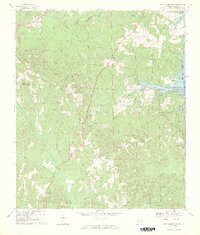
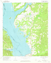
Other maps of this area

1953 · Dothan
USGS Topo · 1:250,000

1954 · Dothan
USGS Topo · 1:250,000

1955 · Dothan
USGS Topo · 1:250,000
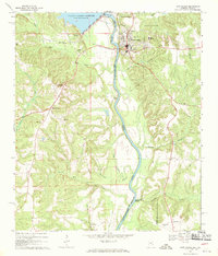
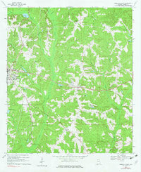
1969 · Fort Gaines
USGS Topo · 1:24,000
1969 · Fort Gaines NW
USGS Topo · 1:24,000
1969 · Fort Gaines NE
USGS Topo · 1:24,000
1969 · Abbeville East
USGS Topo · 1:24,000
1970 · Columbia NE
USGS Topo · 1:24,000
1970 · Haleburg
USGS Topo · 1:24,000

1973 · Coleman
USGS Topo · 1:24,000