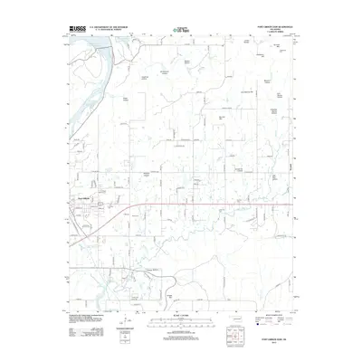
2012 Map of Fort Gibson Dam
USGS Topo · Published 2012About this map
Fort Gibson and its historic burial grounds serve as a centerpiece for this Oklahoma landscape, situated at the confluence of several vital waterways including the Neosho River and Bayou Manard. The area is characterized by a high density of ancestral sites, including the prominent Ft Gibson National Cemetery, alongside the Walker, Anderson, and Starnes cemeteries. This 2012 survey illustrates the transition from the river lowlands to the elevated terrain of Blackberry Hill and Runnels Mountain.
Find a feature on this map
118 named features on this map. Tap any name to fly to it.
Don’t see what you’re looking for? This feature index may not catch every label — zoom into the map to look around manually.
Map Details
Editions of this 2012 Fort Gibson Dam Map
This is the sole edition of this map. No revisions or reprints were ever made.
Other maps of this area

1901 · Muscogee
USGS Topo · 1:125,000

1905 · Muscogee
USGS Topo · 1:125,000

1946 · Fort Smith
USGS Topo · 1:250,000

1948 · Hulbert
USGS Topo · 1:62,500

1948 · Keefeton
USGS Topo · 1:62,500

1948 · Webbers Falls
USGS Topo · 1:62,500

1948 · Wagoner
USGS Topo · 1:62,500

1950 · Keefeton
USGS Topo · 1:62,500

1950 · Wagoner
USGS Topo · 1:62,500

1950 · Hulbert
USGS Topo · 1:62,500