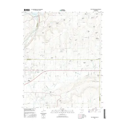
2016 Map of Fort Gibson Dam
USGS Topo · Published 2016About this map
Fort Gibson and the surrounding river valley are defined by the critical junction of the Neosho River and the engineering of the Fort Gibson Dam. This area, spanning the borders of Muskogee, Cherokee, and Wagoner counties, illustrates a landscape heavily shaped by water management and topography. The map reveals a high concentration of family and community burial grounds, such as Fort Gibson Citizen's Cem, Andersons Cem, and Walker Cem, which speak to the deep genealogical roots of the region.
Find a feature on this map
81 named features on this map. Tap any name to fly to it.
Don’t see what you’re looking for? This feature index may not catch every label — zoom into the map to look around manually.
Map Details
Editions of this 2016 Fort Gibson Dam Map
This is the sole edition of this map. No revisions or reprints were ever made.
Other maps of this area

1901 · Muscogee
USGS Topo · 1:125,000

1905 · Muscogee
USGS Topo · 1:125,000

1946 · Fort Smith
USGS Topo · 1:250,000

1948 · Hulbert
USGS Topo · 1:62,500

1948 · Keefeton
USGS Topo · 1:62,500

1948 · Webbers Falls
USGS Topo · 1:62,500

1948 · Wagoner
USGS Topo · 1:62,500

1950 · Keefeton
USGS Topo · 1:62,500

1950 · Wagoner
USGS Topo · 1:62,500

1950 · Hulbert
USGS Topo · 1:62,500