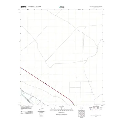
2010 Map of Fort Hancock NW
USGS Topo · Published 2010About this map
The international boundary between the United States of America and Estados Unidos Mexicanos follows the winding course of the Rio Grande in this desert region of West Texas. This 2010 topographic record shows a landscape defined by the vital relationship between the river and the arid uplands of El Paso County. The low-lying terrain near the border is managed through irrigation infrastructure like the Upper Drain, which supports the small-scale agricultural presence in an otherwise sparsely populated area. Further north, the land rises into the high desert, where Sand Ranch serves as a remote landmark in the scrubland. Transportation in the area is anchored by Acala Rd, which provides the primary access across the northern desert flats, connecting this border territory to the broader regional road network.
Find a feature on this map
5 named features on this map. Tap any name to fly to it.
Don’t see what you’re looking for? This feature index may not catch every label — zoom into the map to look around manually.
Map Details
Editions of this 2010 Fort Hancock NW Map
This is the sole edition of this map. No revisions or reprints were ever made.
Other maps of this area

1894 · Fort Hancock
USGS Topo · 1:125,000

1896 · El Paso
USGS Topo · 1:125,000

1896 · Rio Grande
USGS Topo · 1:125,000

1903 · Cerro Alto
USGS Topo · 1:125,000

1908 · El Paso
USGS Topo · 1:125,000

1941 · Clint
USGS Topo · 1:62,500

1941 · Tornillo
USGS Topo · 1:62,500

1942 · Borrego
USGS Topo · 1:62,500

1943 · Fort Hancock
USGS Topo · 1:62,500
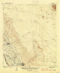
1945 · Clint
USGS Topo · 1:62,500