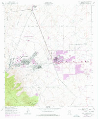
1958 Map of Fort Huachuca
USGS Topo · Published 1978About this map
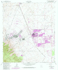
Fort Huachuca Military Reservation dominates this 1958 survey, showing the mid-century footprint of this Arizona installation and its surrounding community development. The map details the administrative and residential core of Fort Huachuca, including the General Myer School and the Apache Flats area. Adjacent to the post, the growth of Sierra Vista and the nearby settlement of Fry are clearly visible, with pink photo-revised shading indicating the expansion of urban areas through the late 1970s.
Find a feature on this map
29 named features on this map. Tap any name to fly to it.
Don’t see what you’re looking for? This feature index may not catch every label — zoom into the map to look around manually.
Map Details
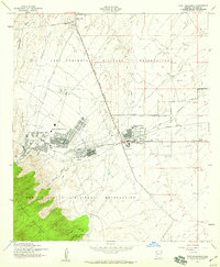
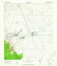
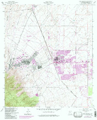
Editions of this 1958 Fort Huachuca Map
5 editions found
Other maps of this area

1914 · Hereford
USGS Topo · 1:125,000

1915 · Benson
USGS Topo · 1:125,000

1922 · Sunnyside
USGS Topo · 1:62,500

1932 · Stark
USGS Topo · 1:62,500

1932 · Fairbank
USGS Topo · 1:62,500

1938 · Huachuca
USGS Topo · 1:62,500

1938 · Sunnyside
USGS Topo · 1:62,500

1943 · Benson
USGS Topo · 1:125,000

1948 · Huachuca Peak
USGS Topo · 1:24,000

1948 · Fort Huachuca NE
USGS Topo · 1:24,000
Featured Places
- Sierra Vista, AZ
- Huachuca City, AZ
- Fry, Sierra Vista
- Village Meadows, Sierra Vista
- Gatewood Housing, Sierra Vista