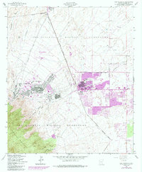
1958 Map of Fort Huachuca
USGS Topo · Published 1984About this map
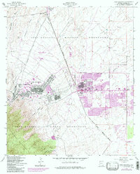
Fort Huachuca Military Reservation dominates this Cochise County landscape, where the sharp transition from the Huachuca Mountains to the desert floor is meticulously documented. The post-war growth of the region is evident in the development of Sierra Vista and Huachuca City, showing the expansion of residential trailer parks and municipal infrastructure alongside the military installation. The map detail highlights a sophisticated transportation and utility network, including a Tramway and Canyon Tramway climbing the slopes of Garden Ridge, and a significant Pipeline corridor running north toward the city. Educational and aviation sites like the General Myer School, William Carmichael School, and the Libby AAF-Sierra Vista Municipal Airport reflect the mid-century transformation of this high-desert outpost into a permanent suburban and military hub.
Find a feature on this map
32 named features on this map. Tap any name to fly to it.
Don’t see what you’re looking for? This feature index may not catch every label — zoom into the map to look around manually.
Map Details
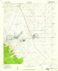
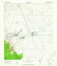
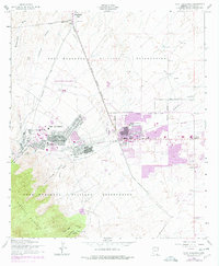
Editions of this 1958 Fort Huachuca Map
5 editions found
Other maps of this area

1914 · Hereford
USGS Topo · 1:125,000

1915 · Benson
USGS Topo · 1:125,000

1922 · Sunnyside
USGS Topo · 1:62,500

1932 · Stark
USGS Topo · 1:62,500

1932 · Fairbank
USGS Topo · 1:62,500

1938 · Huachuca
USGS Topo · 1:62,500

1938 · Sunnyside
USGS Topo · 1:62,500

1943 · Benson
USGS Topo · 1:125,000

1948 · Huachuca Peak
USGS Topo · 1:24,000

1948 · Fort Huachuca NE
USGS Topo · 1:24,000
Featured Places
- Sierra Vista, AZ
- Huachuca City, AZ
- Fry, Sierra Vista
- Village Meadows, Sierra Vista
- Gatewood Housing, Sierra Vista