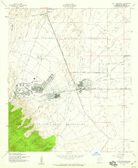
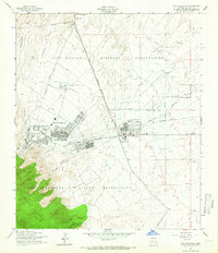
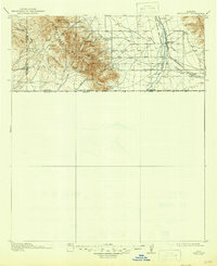
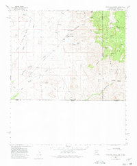
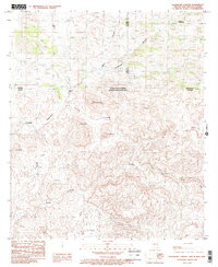
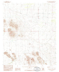
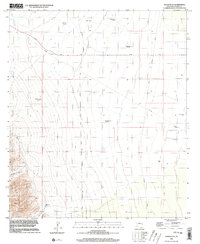
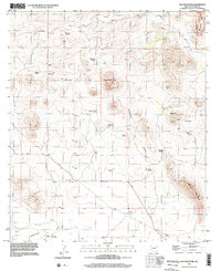
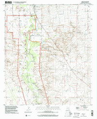
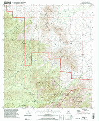
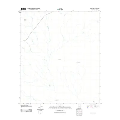
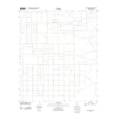
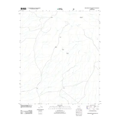
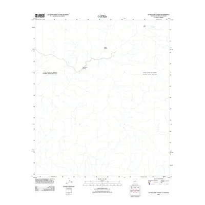
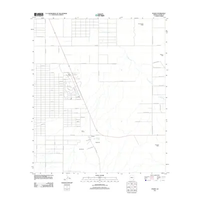
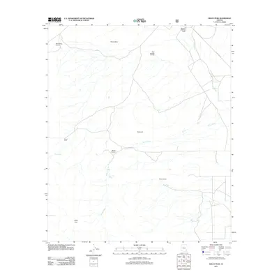
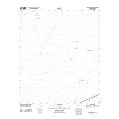
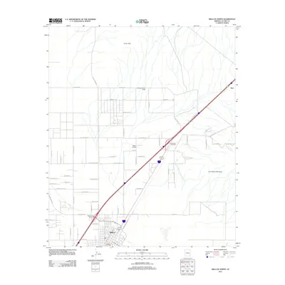
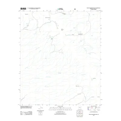
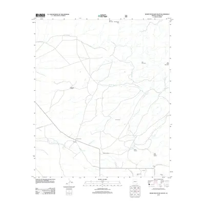
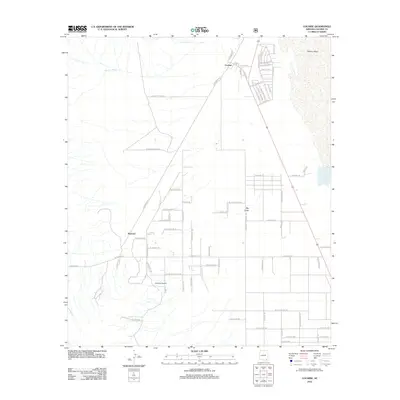
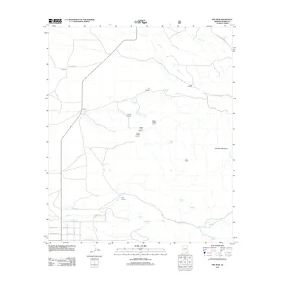
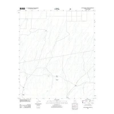
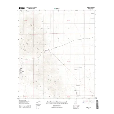
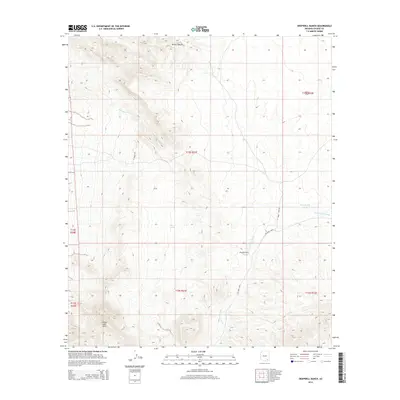
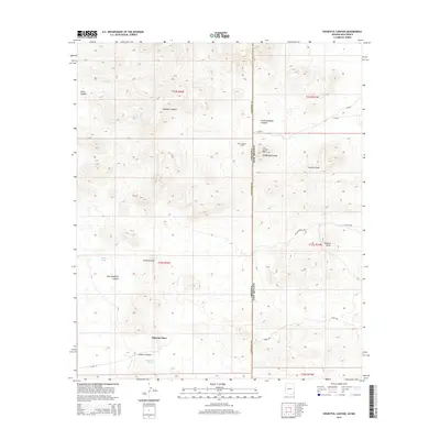
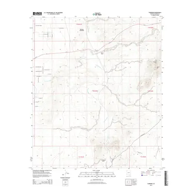
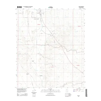
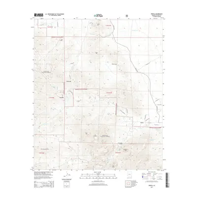
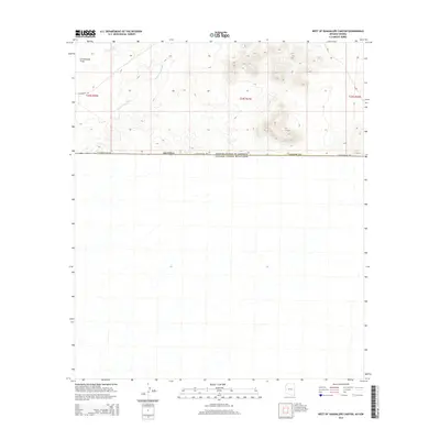
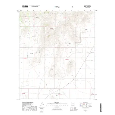
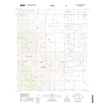
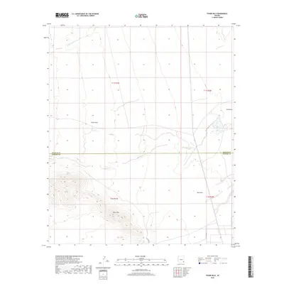
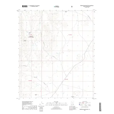
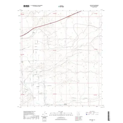
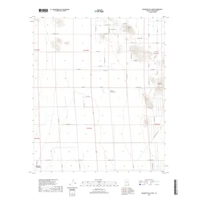
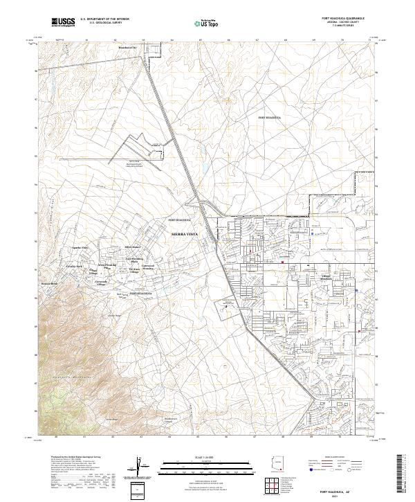
1958 Map of Fort Huachuca
USGS Topo · Published 1959About this map
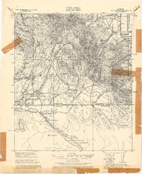
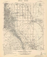
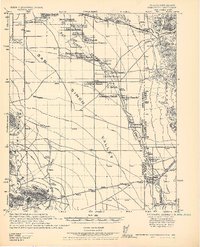
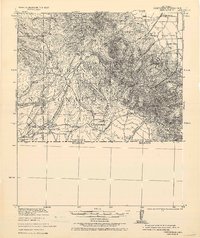
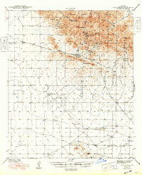
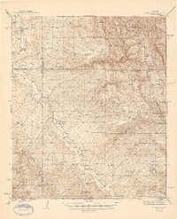
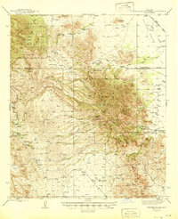
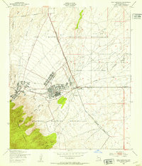
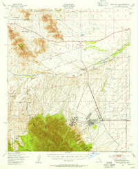
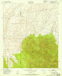
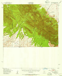
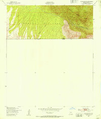
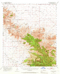
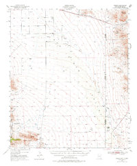
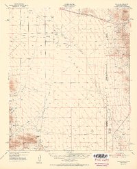
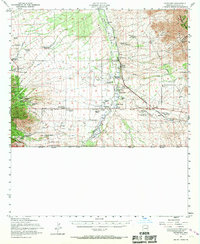
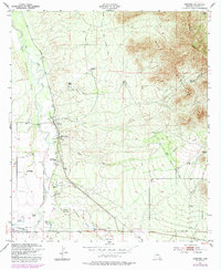
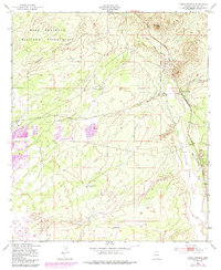
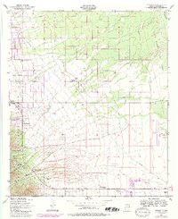
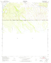
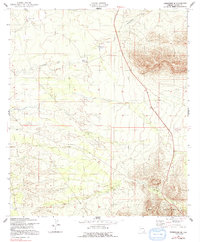
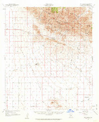
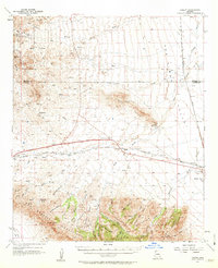
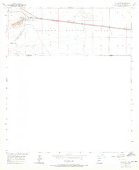
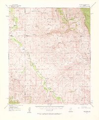
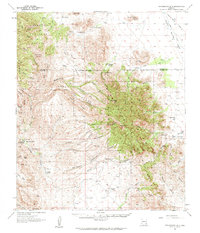
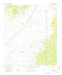
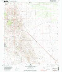
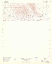
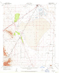
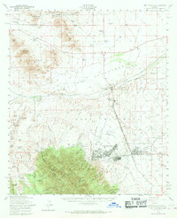
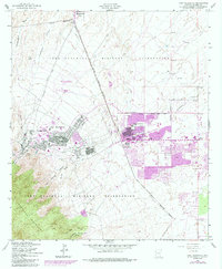
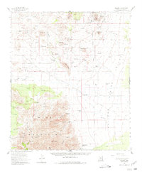
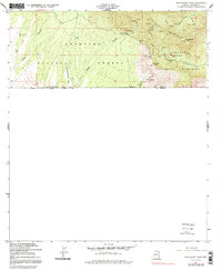
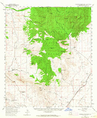
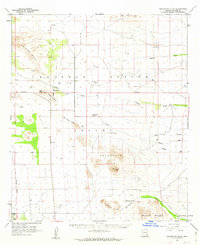
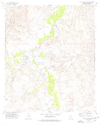
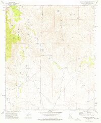
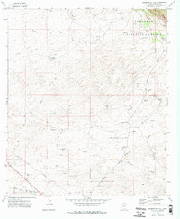
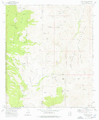
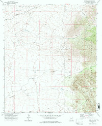
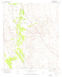
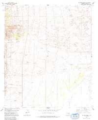
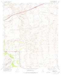
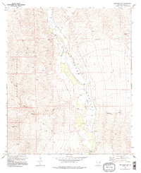
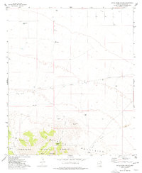
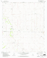
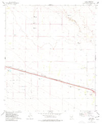
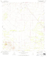
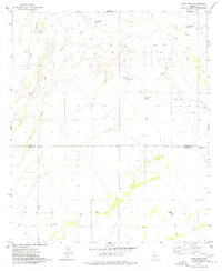
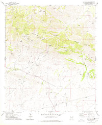
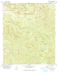
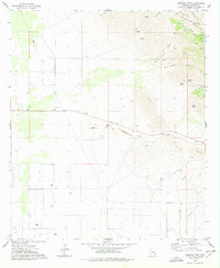
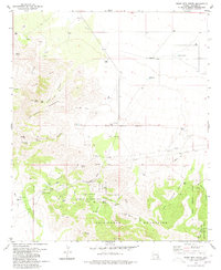
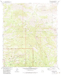
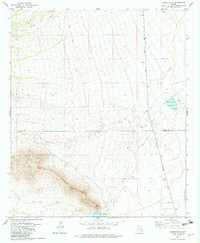
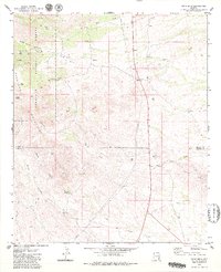
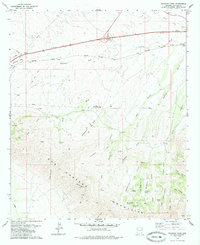
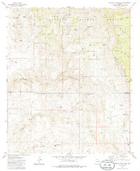
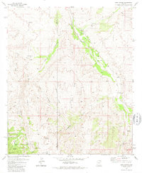
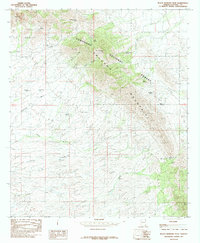
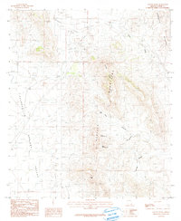
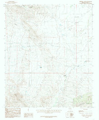
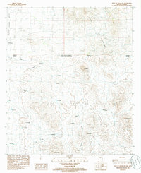
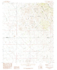
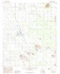
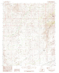
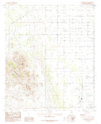
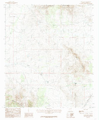
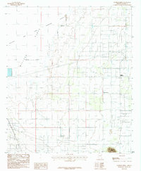
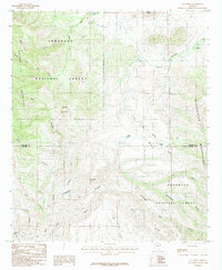
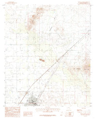
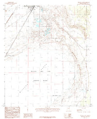
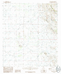
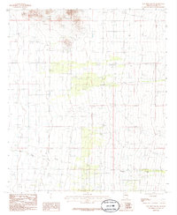
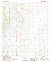
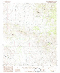
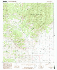
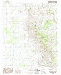
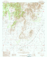
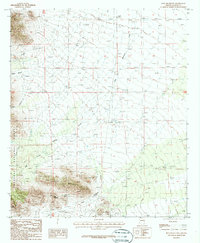
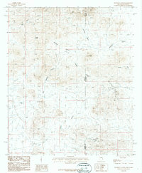
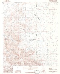
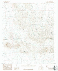
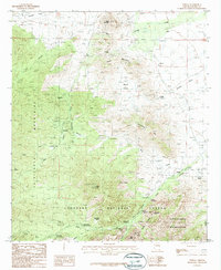
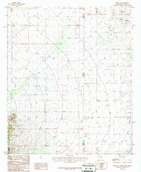
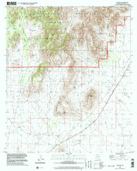
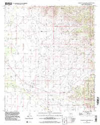
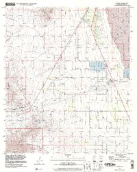
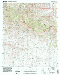
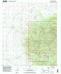
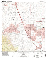
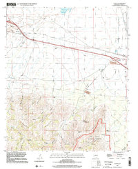
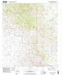
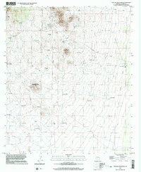
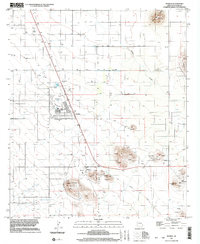
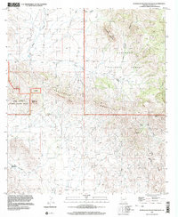
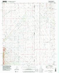
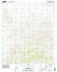
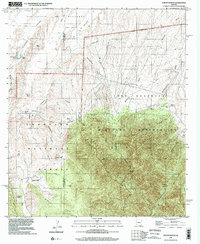
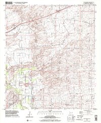
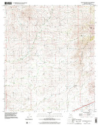
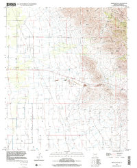
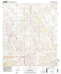
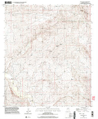
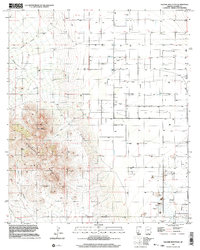
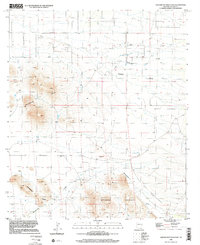
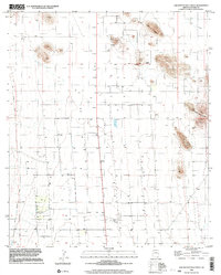
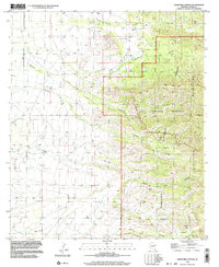
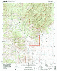
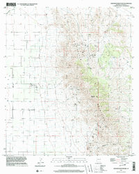
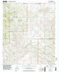
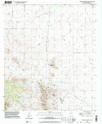
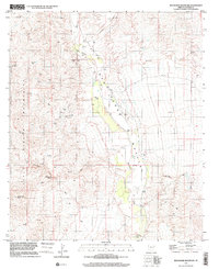
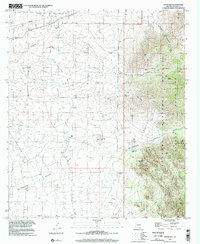
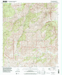
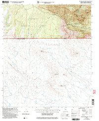
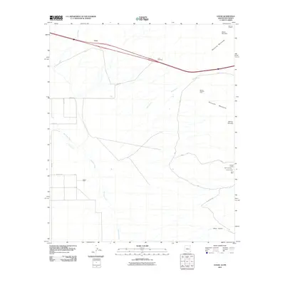
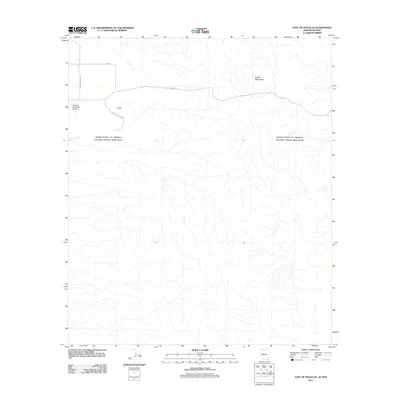
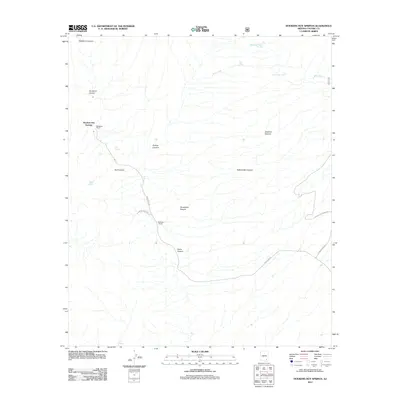
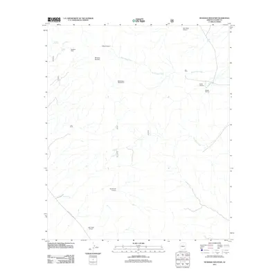
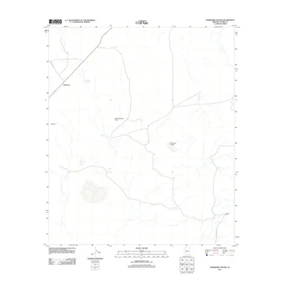
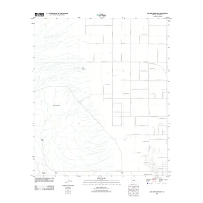
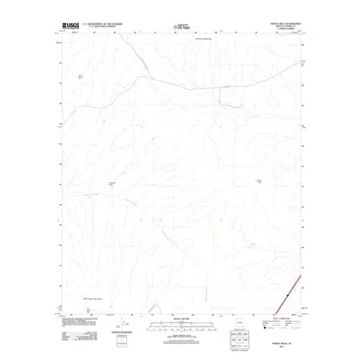
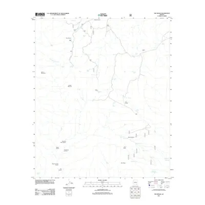
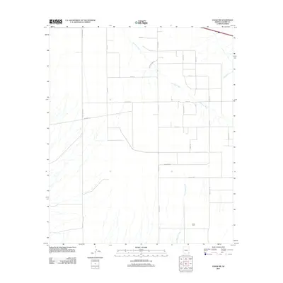
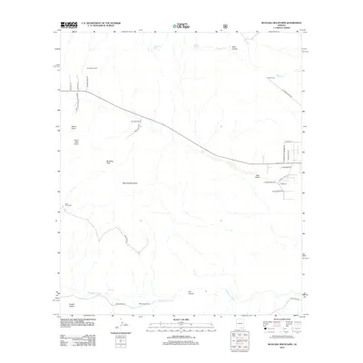
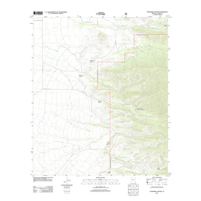
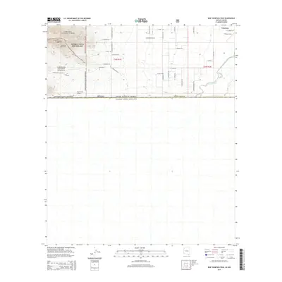
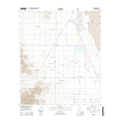
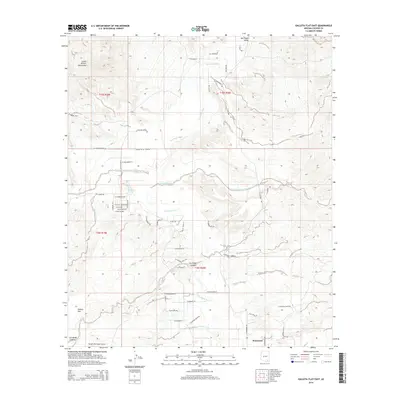
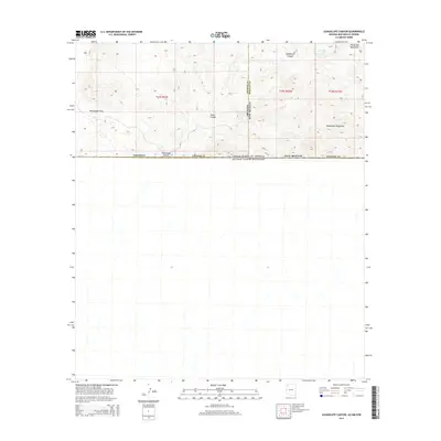
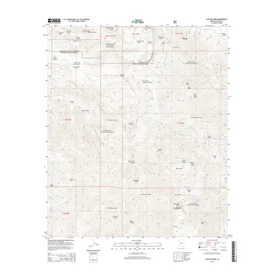
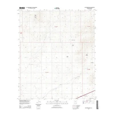
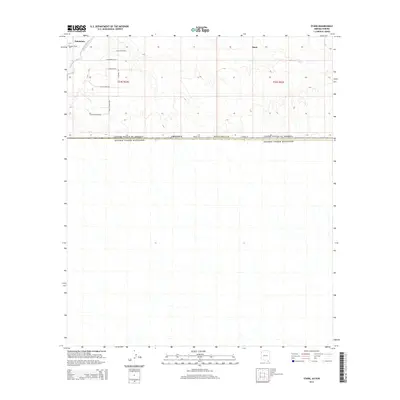
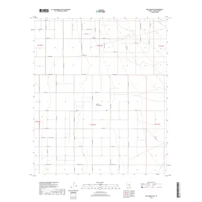
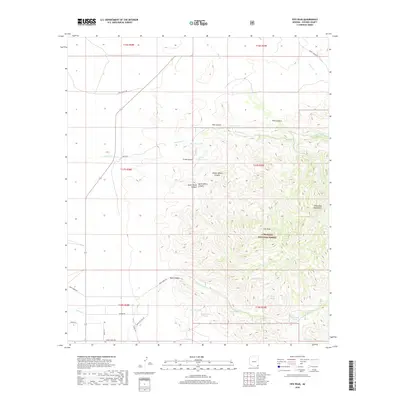
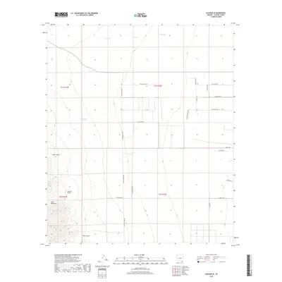
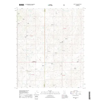
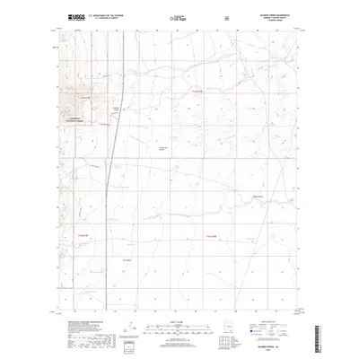
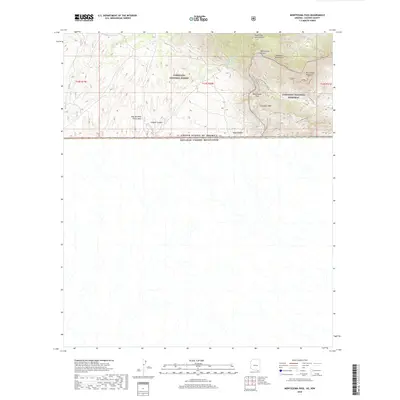
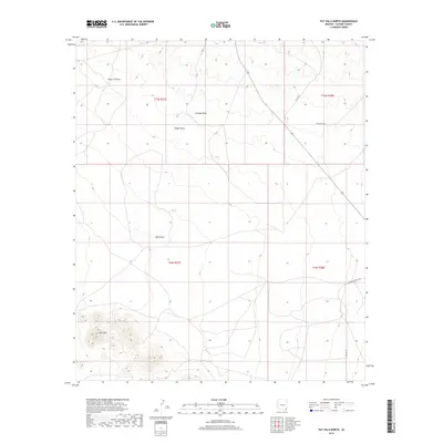
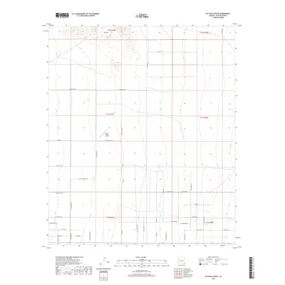
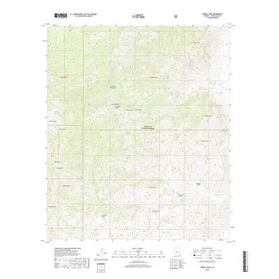
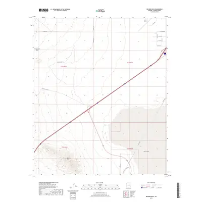
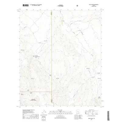
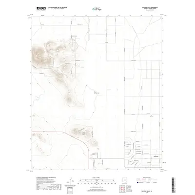
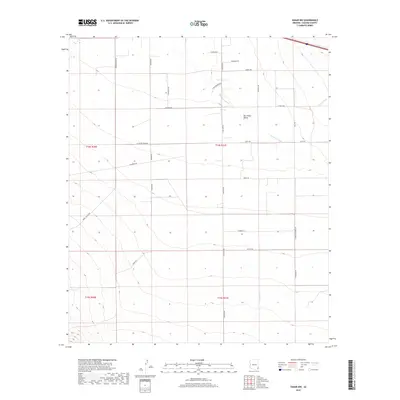
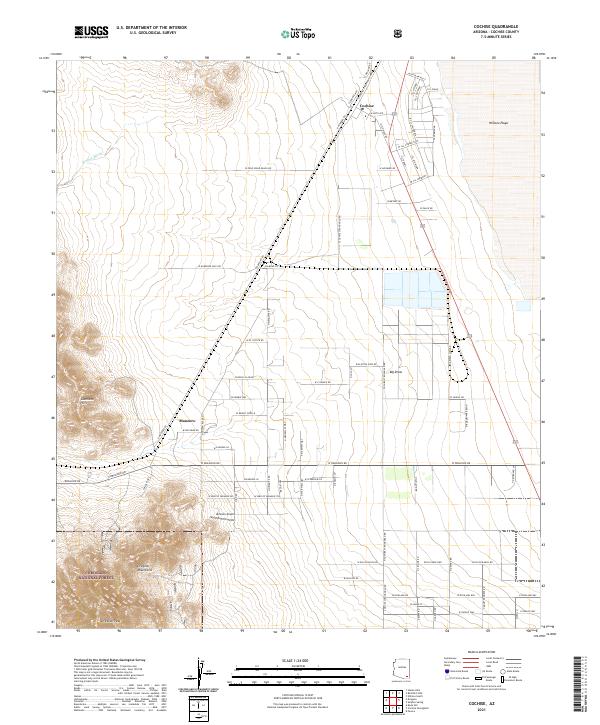
Fort Huachuca and the burgeoning community of Sierra Vista define this late 1950s landscape in Cochise County, captured during a period of transition and post-war development. The map details the administrative and residential core of the military installation, including Apache Flats and educational facilities like the General Myer School. Aviation activity is centered at Libby Field, while the southern end of the post is marked by specialized infrastructure like the Canyon Tramway.
Find a feature on this map
29 named features on this map. Tap any name to fly to it.
Don’t see what you’re looking for? This feature index may not catch every label — zoom into the map to look around manually.
Map Details
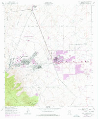
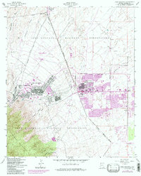
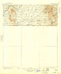
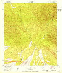
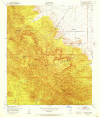
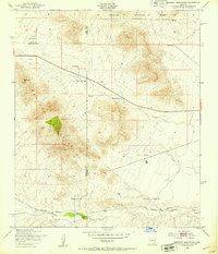
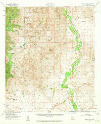
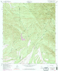
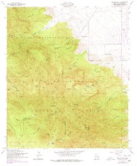
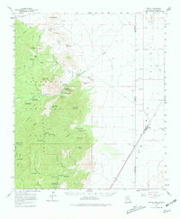
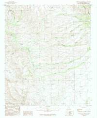
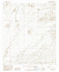
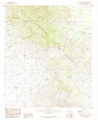
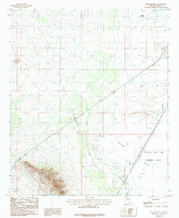
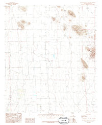
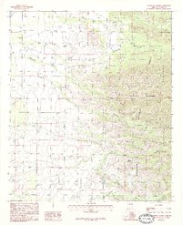
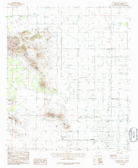
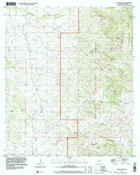
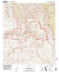
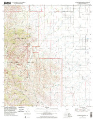
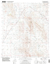
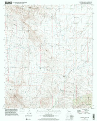
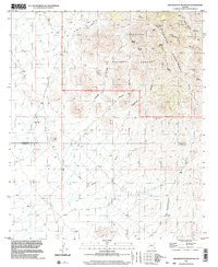
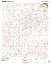
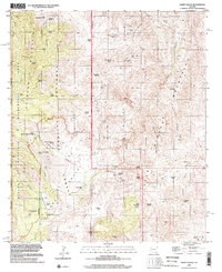
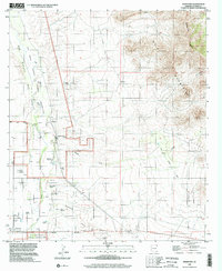
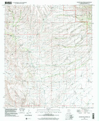
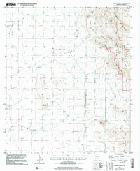
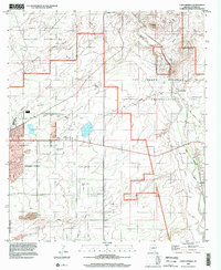
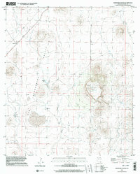
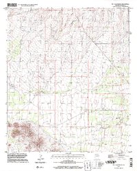
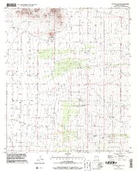
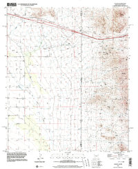
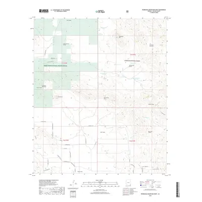
Editions of this 1958 Fort Huachuca Map
5 editions found
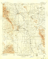
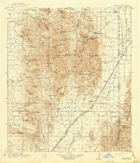
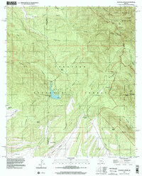
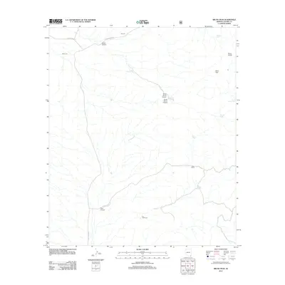
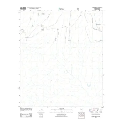
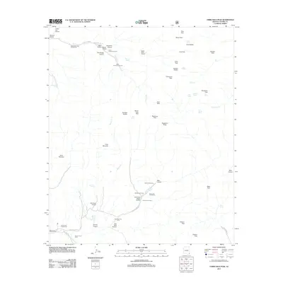
Historical Maps of Sierra Vista Through Time
677 maps found
1914 Hereford
Cochise County, AZ
1916 Pearce
Cochise County, AZ

1917 Chiricahua
Cochise County, AZ
1919 Chiricahua
Cochise County, AZ
1919 Perilla
Cochise County, AZ

1922 McDonald
Cochise County, AZ
1922 Sunnyside
Cochise County, AZ
1922 Swisshelm
Cochise County, AZ
1925 Gleeson
Cochise County, AZ
1926 Cochise Head
Cochise County, AZ
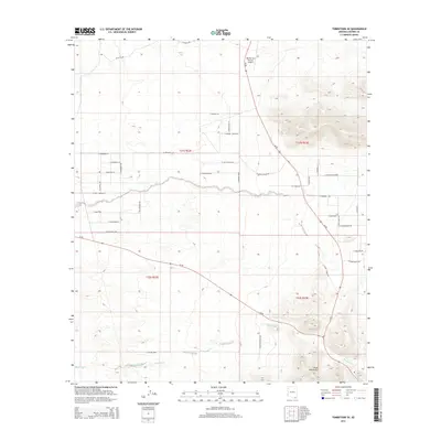
1926 Courtland
Cochise County, AZ
1926 Light
Cochise County, AZ

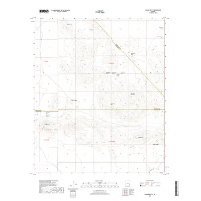
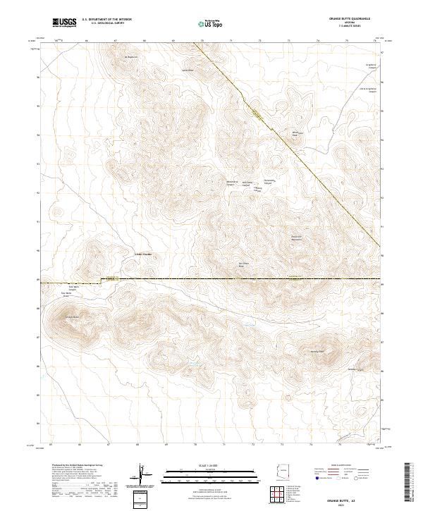
1926 Orange Butte
Cochise County, AZ
1926 Pedregosa
Cochise County, AZ
1926 Rucker
Cochise County, AZ
1928 Chenoweth
Cochise County, AZ
1932 Fairbank
Cochise County, AZ
1932 Stark
Cochise County, AZ
1938 Huachuca
Cochise County, AZ
1938 Sunnyside
Cochise County, AZ
1940 Apache
Cochise County, AZ
1940 College Peaks
Cochise County, AZ
1943 Cochise
Cochise County, AZ
1943 Dos Cabezas
Cochise County, AZ
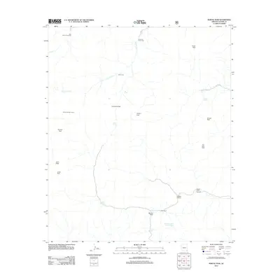
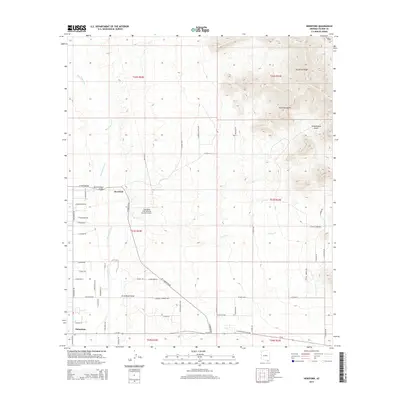
1943 Winchester Mts.
Cochise County, AZ
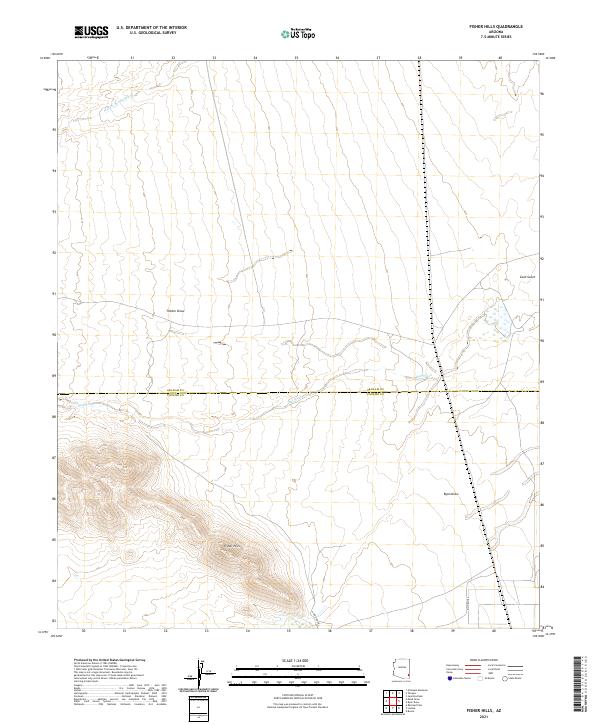
1944 Fisher Hills
Cochise County, AZ
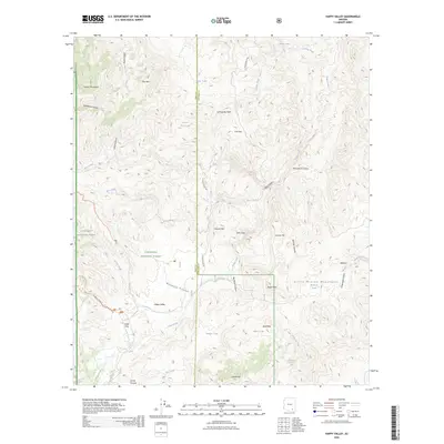
1945 Happy Valley
Cochise County, AZ
1945 Redington
Cochise County, AZ
1945 Winchester Mts.
Cochise County, AZ
1948 Fort Huachuca
Cochise County, AZ
1948 Fort Huachuca
Cochise County, AZ

1948 Fort Huachuca NE
Cochise County, AZ
1948 Fort Huachuca SW
Cochise County, AZ
1948 Huachuca Peak
Cochise County, AZ
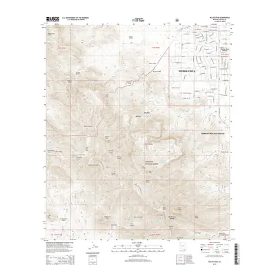
1948 Miller Peak
Cochise County, AZ
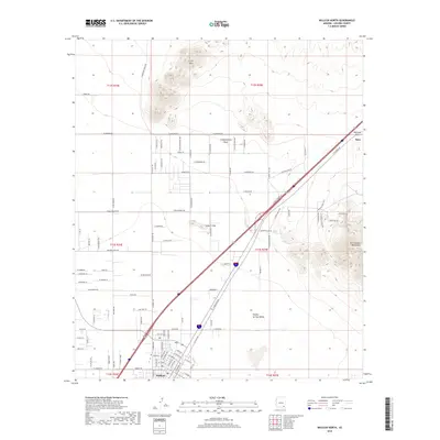
1948 Mustang Mountains
Cochise County, AZ
1948 Sunnyside
Cochise County, AZ
1948 Sunnyside SE
Cochise County, AZ
1948 Sunnyside SW
Cochise County, AZ
1950 Cochise Head
Cochise County, AZ
1950 Vanar
Cochise County, AZ
1951 Vanar
Cochise County, AZ
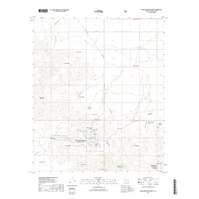
1952 Bob Thompson Peak
Cochise County, AZ
1952 Fairbank
Cochise County, AZ
1952 Hereford
Cochise County, AZ
1952 Hereford
Cochise County, AZ
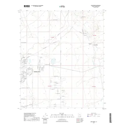
1952 Lewis Springs
Cochise County, AZ
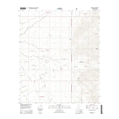
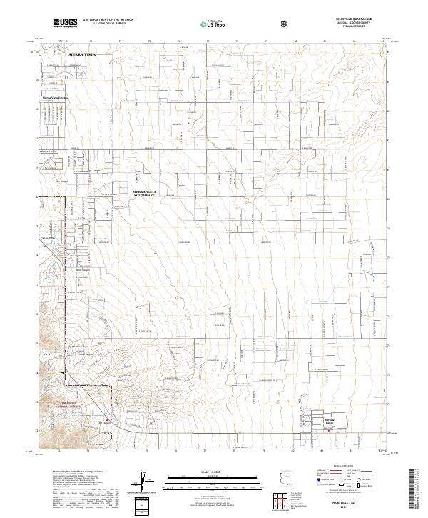
1952 Nicksville
Cochise County, AZ
1952 Stark
Cochise County, AZ
1952 Tombstone SE
Cochise County, AZ
1957 Dos Cabezas
Cochise County, AZ

1957 Hay Mountain
Cochise County, AZ
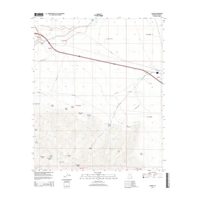
1957 Luzena
Cochise County, AZ
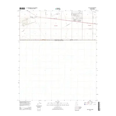
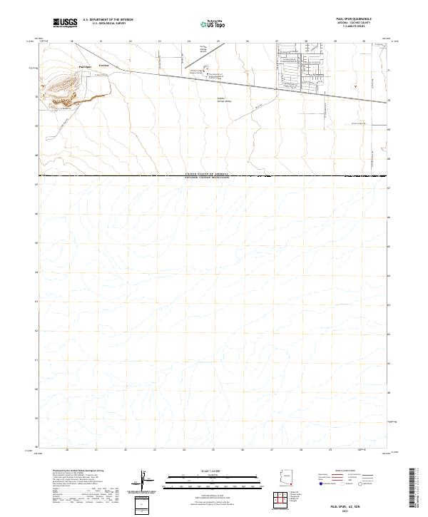
1957 Paul Spur
Cochise County, AZ
1957 Redington
Cochise County, AZ
1957 Winchester Mts.
Cochise County, AZ
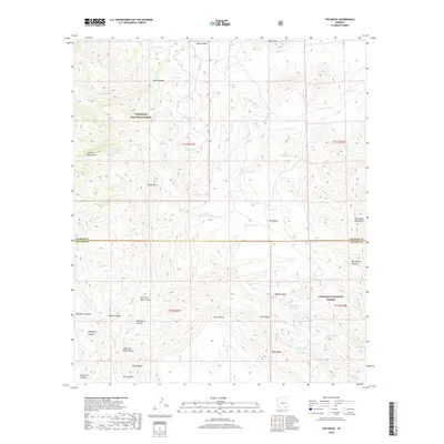
1958 Apache
Cochise County, AZ
1958 Bisbee NE
Cochise County, AZ
1958 Bisbee SE
Cochise County, AZ
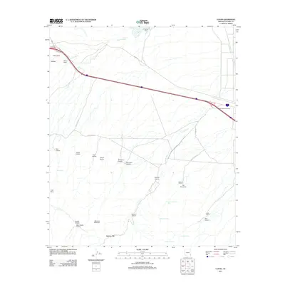
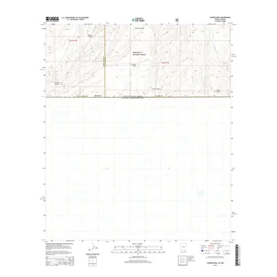
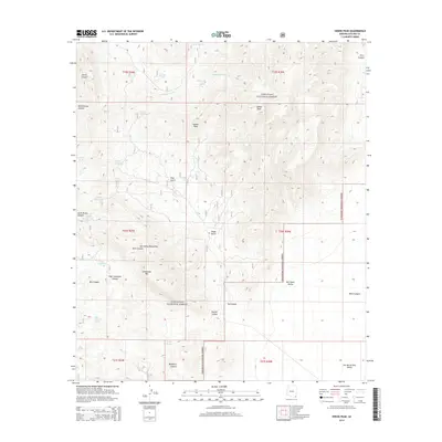
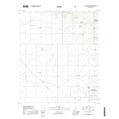
1958 Campini Mesa
Cochise County, AZ
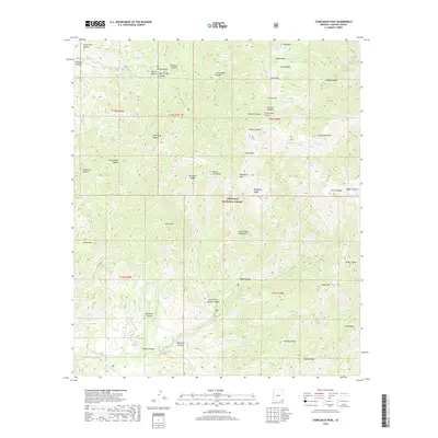
1958 Chiricahua Peak
Cochise County, AZ
1958 Cochise
Cochise County, AZ
1958 College Peaks
Cochise County, AZ
1958 Double Adobe
Cochise County, AZ
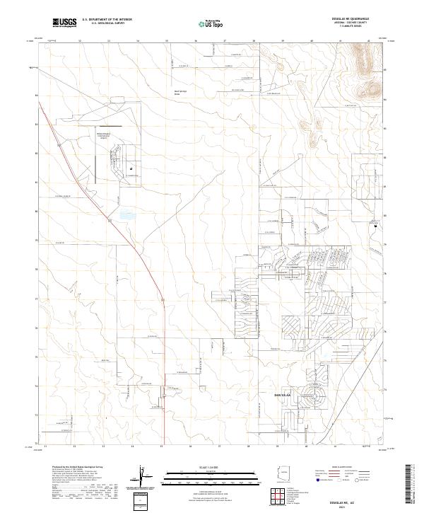
1958 Douglas NE
Cochise County, AZ
1958 Fort Huachuca
Cochise County, AZ
1958 Fort Huachuca
Cochise County, AZ
1958 Gleeson
Cochise County, AZ
1958 Gleeson SE
Cochise County, AZ
1958 Guadalupe Canyon
Cochise County, AZ
1958 Happy Valley
Cochise County, AZ
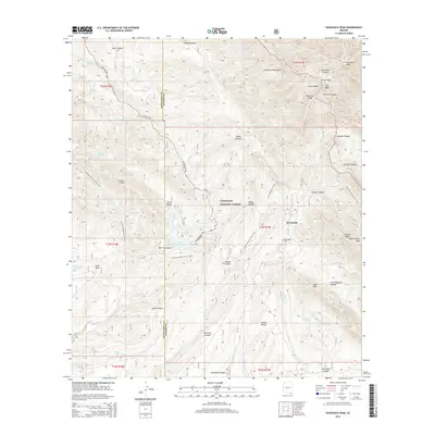
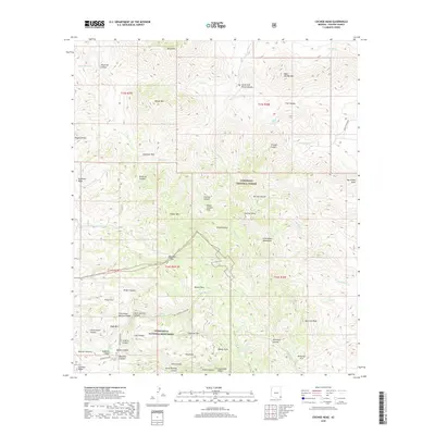
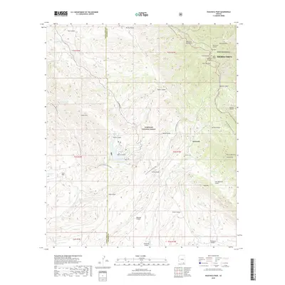
1958 Huachuca Peak
Cochise County, AZ
1958 Miller Peak
Cochise County, AZ
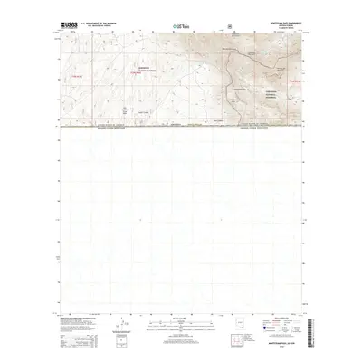
1958 Montezuma Pass
Cochise County, AZ
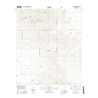
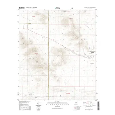
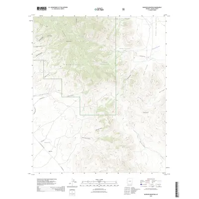
1958 Mustang Mountains
Cochise County, AZ
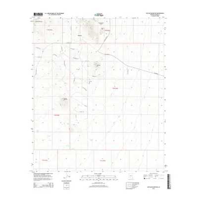
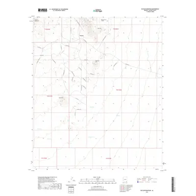
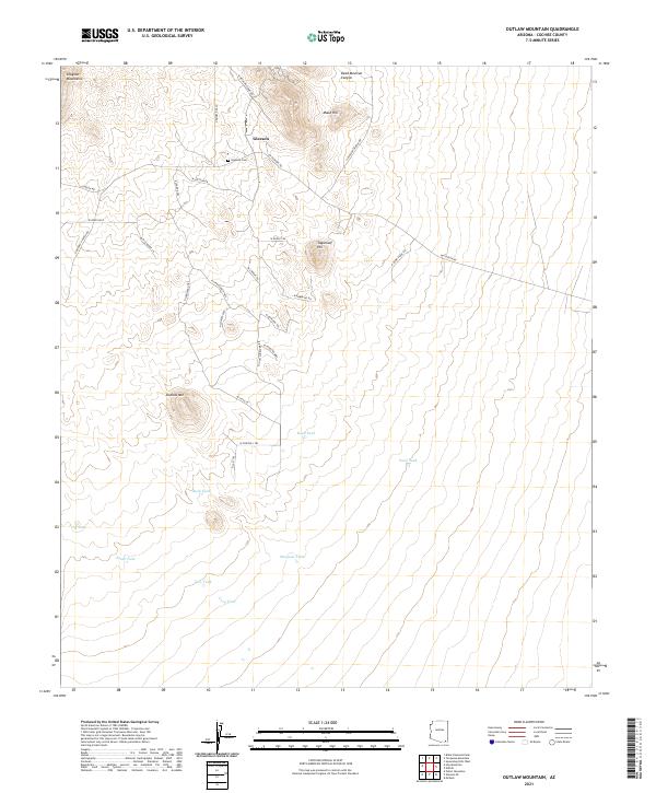
1958 Outlaw Mountain
Cochise County, AZ
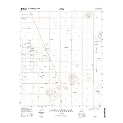
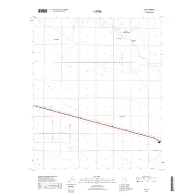
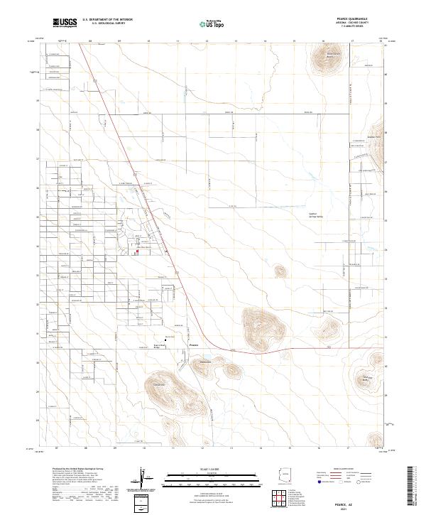
1958 Pearce
Cochise County, AZ
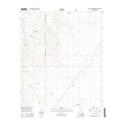
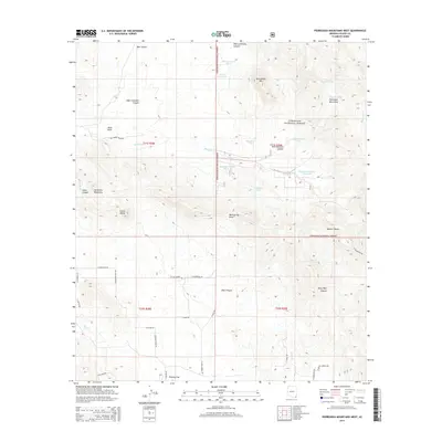
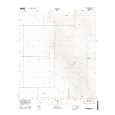
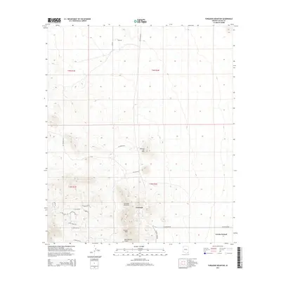
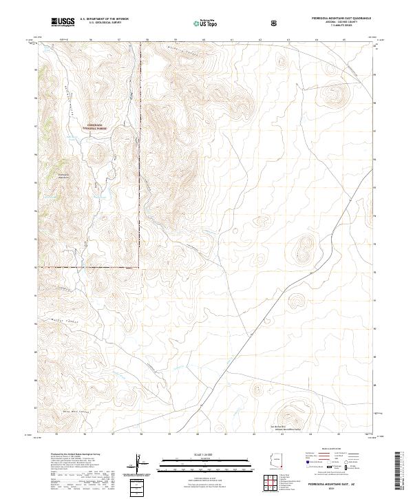
1958 Pedregosa Mountains
Cochise County, AZ
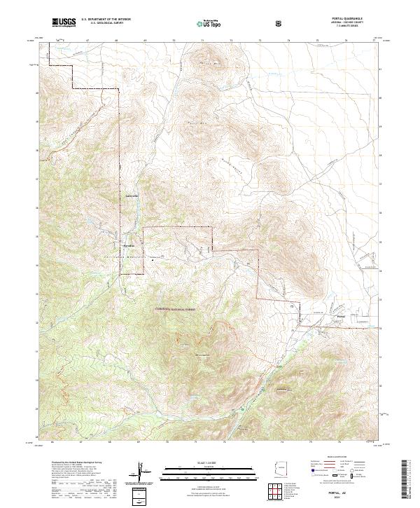
1958 Portal
Cochise County, AZ
1958 Potter Mountain
Cochise County, AZ
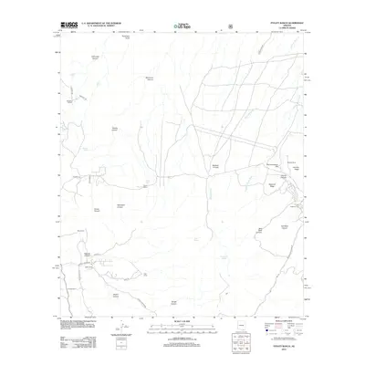
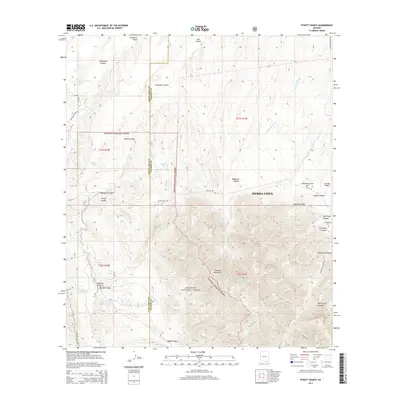
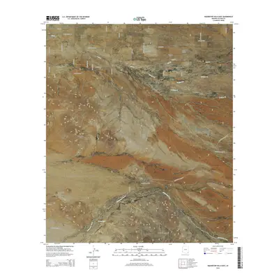
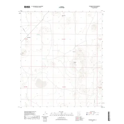
1958 Pyeatt Ranch
Cochise County, AZ
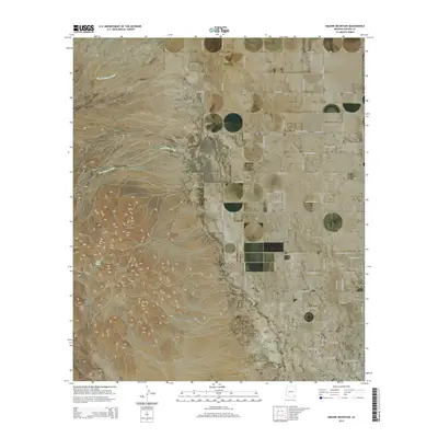
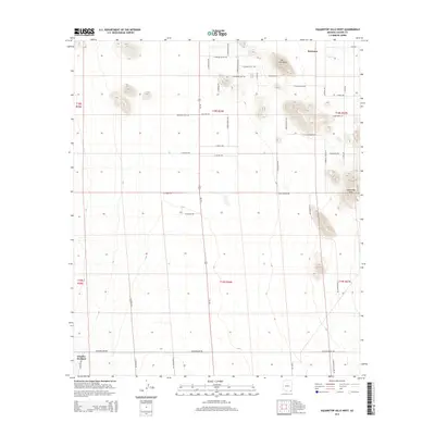
1958 Squaretop Hills
Cochise County, AZ
1958 Sunnyside
Cochise County, AZ
1958 Swisshelm Mtn
Cochise County, AZ
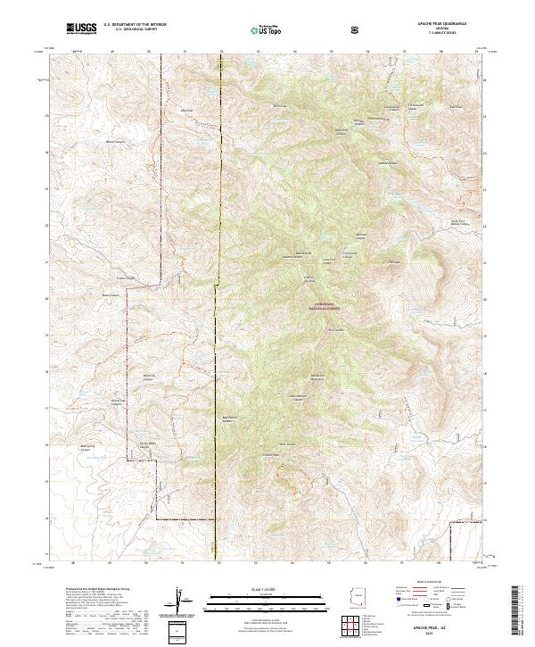
1973 Apache Peak
Cochise County, AZ
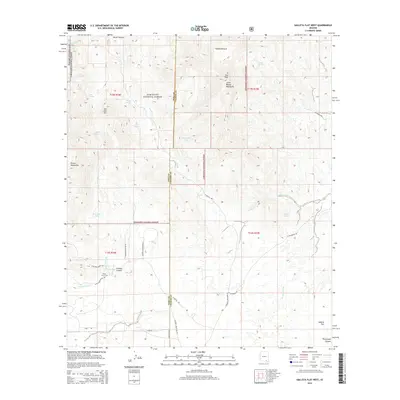
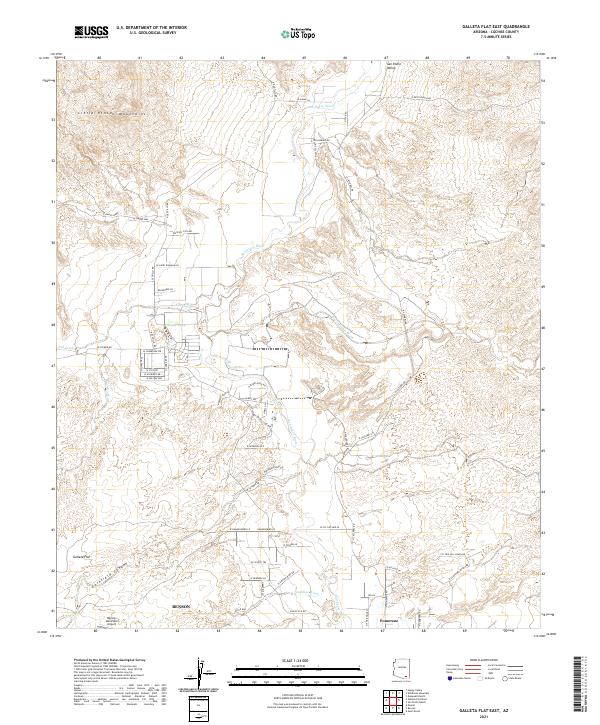
1973 Galleta Flat East
Cochise County, AZ
1973 Galleta Flat West
Cochise County, AZ
1973 Haberstock Hill
Cochise County, AZ
1973 Happy Valley
Cochise County, AZ
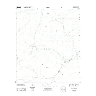
1973 Knob Hill
Cochise County, AZ
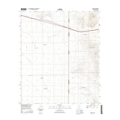
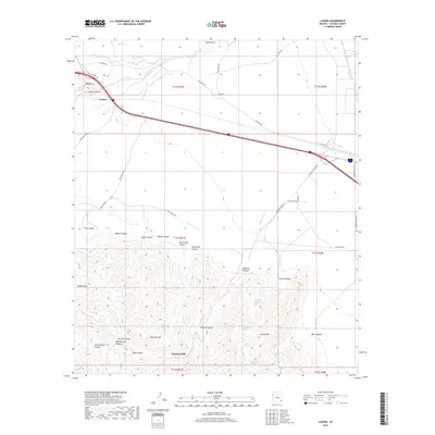
1973 Land
Cochise County, AZ
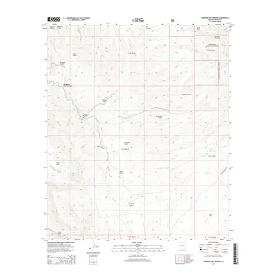
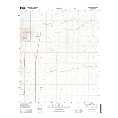
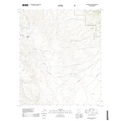
1973 Mc Grew Spring
Cochise County, AZ
1973 Saint David
Cochise County, AZ
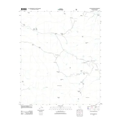
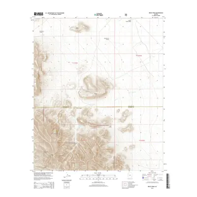
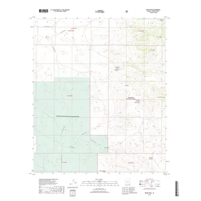
1973 Wildhorse Mtn
Cochise County, AZ
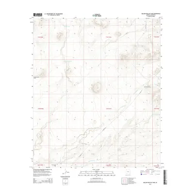
1974 Bowie Mtn South
Cochise County, AZ
1974 Dos Cabezas SW
Cochise County, AZ
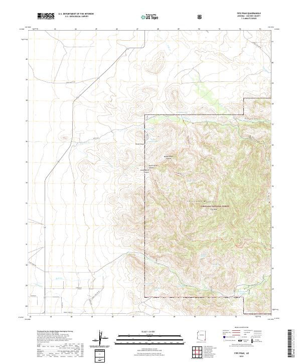
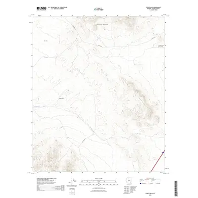
1974 Fife Peak
Cochise County, AZ
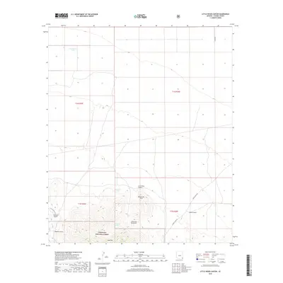
1974 Little Wood Canyon
Cochise County, AZ
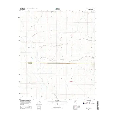
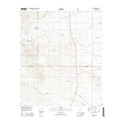
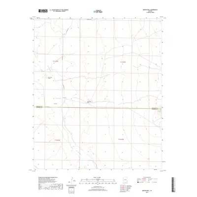
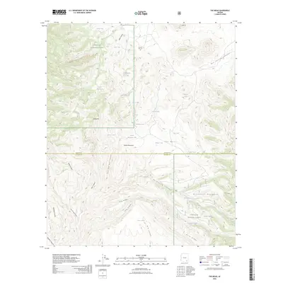
1974 Martin Well
Cochise County, AZ
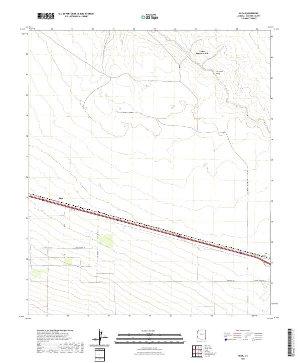
1974 Olga
Cochise County, AZ
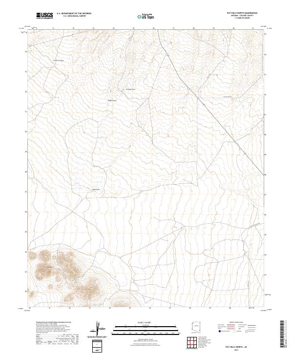
1974 Pat Hills North
Cochise County, AZ
1974 Ryan Draw
Cochise County, AZ
1978 Dos Cabezas
Cochise County, AZ
1978 Rustler Park
Cochise County, AZ
1978 Simmons Peak
Cochise County, AZ
1979 Bowie Mtn North
Cochise County, AZ
1979 Cochise Head
Cochise County, AZ
1979 Fisher Hills
Cochise County, AZ
1979 Luzena
Cochise County, AZ
1979 Monk Draw
Cochise County, AZ
1979 Railroad Pass
Cochise County, AZ
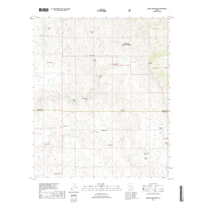
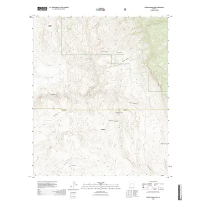
1981 Cherry Spring Peak
Cochise County, AZ
1981 Soza Canyon
Cochise County, AZ

1981 Soza Mesa
Cochise County, AZ
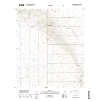
1985 Black Diamond Peak
Cochise County, AZ
1985 Cinder Hill
Cochise County, AZ
1985 Cochise
Cochise County, AZ
1985 Cochise Stronghold
Cochise County, AZ
1985 College Peaks
Cochise County, AZ
1985 Deepwell Ranch
Cochise County, AZ
1985 East of Douglas
Cochise County, AZ
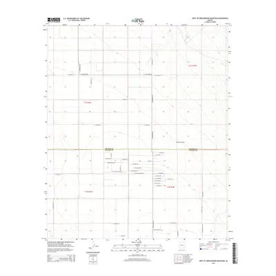
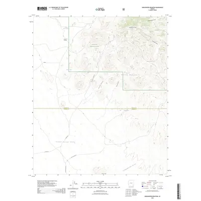
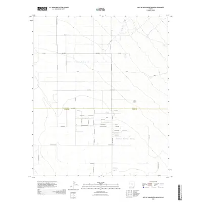
1985 Greasewood Mountain
Cochise County, AZ
1985 Guadalupe Canyon
Cochise County, AZ
1985 Hookers Hot Springs
Cochise County, AZ
1985 Lazy J Ranch
Cochise County, AZ
1985 Muskhog Mountain
Cochise County, AZ
1985 Pearce
Cochise County, AZ
1985 Red Bird Hills
Cochise County, AZ
1985 Reiley Peak
Cochise County, AZ
1985 San Bernardino Ranch
Cochise County, AZ
1985 San Pedro Ranch
Cochise County, AZ
1985 Square Mountain
Cochise County, AZ
1985 Steele Hills
Cochise County, AZ
1985 Sulphur Spring
Cochise County, AZ
1985 The Mesas
Cochise County, AZ
1985 Turquoise Mountain
Cochise County, AZ
1985 West of Greasewood Mtn
Cochise County, AZ
1985 West of Guadalupe Canyon
Cochise County, AZ
1985 Willcox North
Cochise County, AZ
1985 Willcox South
Cochise County, AZ
1986 Bruno Peak
Cochise County, AZ
1986 Chiricahua Peak
Cochise County, AZ
1986 Leslie Canyon
Cochise County, AZ
1986 Pat Hills South
Cochise County, AZ
1986 Pedregosa Mountains East
Cochise County, AZ
1986 Pedregosa Mountains West
Cochise County, AZ
1986 Squaretop Hills East
Cochise County, AZ
1986 Squaretop Hills West
Cochise County, AZ
1986 Stanford Canyon
Cochise County, AZ
1986 Sulphur Hills
Cochise County, AZ
1986 Swede Peak
Cochise County, AZ
1986 Swisshelm Mountain
Cochise County, AZ
1987 Apache
Cochise County, AZ
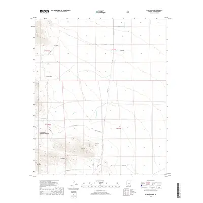
1987 Blue Mountain
Cochise County, AZ
1987 Doubtful Canyon
Cochise County, AZ
1987 Engine Mountain
Cochise County, AZ
1987 Orange Butte
Cochise County, AZ

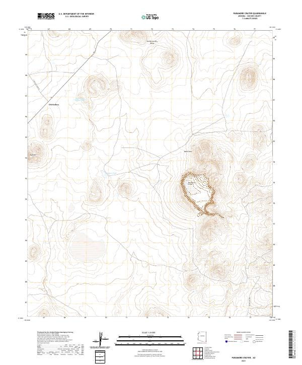
1987 Paramore Crater
Cochise County, AZ
1987 Portal
Cochise County, AZ
1987 Portal NE
Cochise County, AZ
1987 Portal Peak
Cochise County, AZ
1987 Vanar
Cochise County, AZ
1987 Vanar NW
Cochise County, AZ

1994 Chiricahua Peak
Cochise County, AZ

1994 Fort Huachuca
Cochise County, AZ
1996 Apache
Cochise County, AZ
1996 Apache Peak
Cochise County, AZ
1996 Black Diamond Peak
Cochise County, AZ
1996 Bowie Mountain North
Cochise County, AZ
1996 Bowie Mountain South
Cochise County, AZ
1996 Bruno Peak
Cochise County, AZ
1996 Cherry Spring Peak
Cochise County, AZ
1996 Cinder Hill
Cochise County, AZ
1996 Cochise
Cochise County, AZ
1996 Cochise Stronghold
Cochise County, AZ
1996 College Peaks
Cochise County, AZ
1996 Deepwell Ranch
Cochise County, AZ
1996 Dos Cabezas
Cochise County, AZ
1996 Dos Cabezas SW
Cochise County, AZ
1996 Double Adobe
Cochise County, AZ
1996 Douglas NE
Cochise County, AZ

1996 Fairbank
Cochise County, AZ
1996 Fife Peak
Cochise County, AZ
1996 Fort Huachuca
Cochise County, AZ
1996 Galleta Flat East
Cochise County, AZ
1996 Galleta Flat West
Cochise County, AZ
1996 Gleeson SE
Cochise County, AZ
1996 Greasewood Mountain
Cochise County, AZ
1996 Haberstock Hill
Cochise County, AZ
1996 Happy Valley
Cochise County, AZ
1996 Hay Mountain
Cochise County, AZ
1996 Hereford
Cochise County, AZ
1996 Hookers Hot Springs
Cochise County, AZ
1996 Huachuca Peak
Cochise County, AZ
1996 Land
Cochise County, AZ
1996 Leslie Canyon
Cochise County, AZ
1996 Lewis Springs
Cochise County, AZ
1996 Little Wood Canyon
Cochise County, AZ
1996 Luzena
Cochise County, AZ
1996 Mc Grew Spring
Cochise County, AZ
1996 Miller Peak
Cochise County, AZ

1996 Million Dollar Tank
Cochise County, AZ
1996 Monk Draw
Cochise County, AZ
1996 Muskhog Mountain
Cochise County, AZ
1996 Mustang Mountains
Cochise County, AZ
1996 Nicksville
Cochise County, AZ
1996 Olga
Cochise County, AZ
1996 Outlaw Mountain
Cochise County, AZ
1996 Paramore Crater
Cochise County, AZ
1996 Pat Hills North
Cochise County, AZ
1996 Pat Hills South
Cochise County, AZ
1996 Pearce
Cochise County, AZ

1996 Pedregosa Mountains East
Cochise County, AZ
1996 Pedregosa Mountains West
Cochise County, AZ
1996 Portal NE
Cochise County, AZ
1996 Potter Mountain
Cochise County, AZ
1996 Pyeatt Ranch
Cochise County, AZ
1996 Railroad Pass
Cochise County, AZ
1996 Red Bird Hills
Cochise County, AZ
1996 Reiley Peak
Cochise County, AZ
1996 Saint David
Cochise County, AZ
1996 San Pedro Ranch
Cochise County, AZ
1996 Simmons Peak
Cochise County, AZ
1996 Soza Canyon
Cochise County, AZ
1996 Soza Mesa
Cochise County, AZ
1996 Square Mountain
Cochise County, AZ
1996 Squaretop Hills East
Cochise County, AZ
1996 Squaretop Hills West
Cochise County, AZ
1996 Stanford Canyon
Cochise County, AZ
1996 Steele Hills
Cochise County, AZ
1996 Sulphur Hills
Cochise County, AZ
1996 Sulphur Spring
Cochise County, AZ
1996 Swede Peak
Cochise County, AZ
1996 Swisshelm Mountain
Cochise County, AZ
1996 The Mesas
Cochise County, AZ
1996 Tombstone SE
Cochise County, AZ
1996 Turquoise Mountain
Cochise County, AZ
1996 Vanar
Cochise County, AZ
1996 Vanar NW
Cochise County, AZ
1996 West of Greasewood Mountain
Cochise County, AZ
1996 Wildhorse Mountain
Cochise County, AZ
1996 Willcox North
Cochise County, AZ
1996 Willcox South
Cochise County, AZ
1997 Chiricahua Peak
Cochise County, AZ
1997 Knob Hill
Cochise County, AZ
1997 Portal Peak
Cochise County, AZ
1998 Blue Mountain
Cochise County, AZ
1998 Doubtful Canyon
Cochise County, AZ
1998 Portal
Cochise County, AZ
1998 Rustler Park
Cochise County, AZ
2004 Bob Thompson Peak
Cochise County, AZ
2004 Campini Mesa
Cochise County, AZ
2004 Montezuma Pass
Cochise County, AZ
2010 Doubtful Canyon
Cochise County, AZ
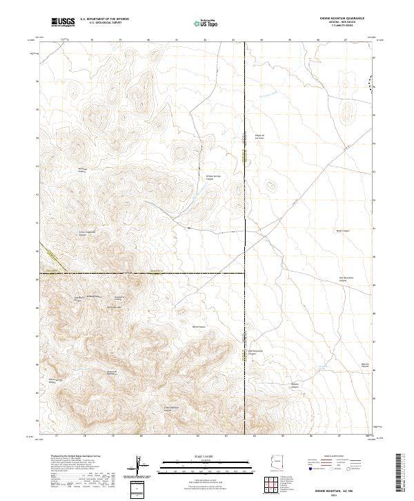
2010 Engine Mountain
Cochise County, AZ
2010 Guadalupe Canyon
Cochise County, AZ
2010 Vanar
Cochise County, AZ
2011 Bisbee NE
Cochise County, AZ
2011 Bisbee SE
Cochise County, AZ
2011 Cherry Spring Peak
Cochise County, AZ
2011 Cinder Hill
Cochise County, AZ
2011 College Peaks
Cochise County, AZ
2011 Deepwell Ranch
Cochise County, AZ
2011 Dos Cabezas
Cochise County, AZ
2011 Dos Cabezas SW
Cochise County, AZ
2011 Double Adobe
Cochise County, AZ
2011 Doubtful Canyon
Cochise County, AZ
2011 Douglas NE
Cochise County, AZ
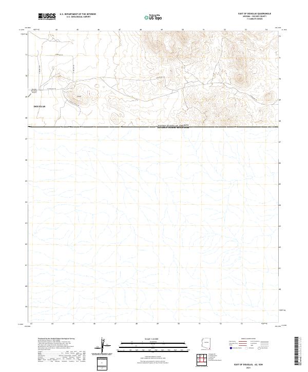
2011 East of Douglas
Cochise County, AZ
2011 Engine Mountain
Cochise County, AZ
2011 Fisher Hills
Cochise County, AZ
2011 Fort Huachuca
Cochise County, AZ
2011 Galleta Flat East
Cochise County, AZ
2011 Galleta Flat West
Cochise County, AZ
2011 Gleeson SE
Cochise County, AZ
2011 Greasewood Mountain
Cochise County, AZ
2011 Guadalupe Canyon
Cochise County, AZ
2011 Happy Valley
Cochise County, AZ
2011 Hay Mountain
Cochise County, AZ
2011 Hereford
Cochise County, AZ
2011 Hookers Hot Springs
Cochise County, AZ
2011 Land
Cochise County, AZ
2011 Leslie Canyon
Cochise County, AZ
2011 Lewis Springs
Cochise County, AZ
2011 Luzena
Cochise County, AZ
2011 Martin Well
Cochise County, AZ
2011 Million Dollar Tank
Cochise County, AZ
2011 Monk Draw
Cochise County, AZ
2011 Muskhog Mountain
Cochise County, AZ
2011 Olga
Cochise County, AZ
2011 Orange Butte
Cochise County, AZ
2011 Outlaw Mountain
Cochise County, AZ
2011 Paramore Crater
Cochise County, AZ
2011 Pat Hills North
Cochise County, AZ
2011 Pat Hills South
Cochise County, AZ
2011 Paul Spur
Cochise County, AZ
2011 Pearce
Cochise County, AZ
2011 Potter Mountain
Cochise County, AZ
2011 Railroad Pass
Cochise County, AZ
2011 Red Bird Hills
Cochise County, AZ
2011 Reiley Peak
Cochise County, AZ
2011 Ryan Draw
Cochise County, AZ
2011 Saint David
Cochise County, AZ
2011 San Bernardino Ranch
Cochise County, AZ
2011 San Pedro Ranch
Cochise County, AZ
2011 Simmons Peak
Cochise County, AZ
2011 Soza Canyon
Cochise County, AZ
2011 Soza Mesa
Cochise County, AZ
2011 Square Mountain
Cochise County, AZ
2011 Squaretop Hills East
Cochise County, AZ
2011 Squaretop Hills West
Cochise County, AZ
2011 Stark
Cochise County, AZ
2011 Steele Hills
Cochise County, AZ
2011 Sulphur Hills
Cochise County, AZ
2011 Sulphur Spring
Cochise County, AZ
2011 Swisshelm Mountain
Cochise County, AZ
2011 The Mesas
Cochise County, AZ
2011 Tombstone SE
Cochise County, AZ
2011 Turquoise Mountain
Cochise County, AZ
2011 Vanar
Cochise County, AZ
2011 Vanar NW
Cochise County, AZ
2011 West of Greasewood Mountain
Cochise County, AZ
2011 West of Guadalupe Canyon
Cochise County, AZ
2011 Wildhorse Mountain
Cochise County, AZ
2011 Willcox North
Cochise County, AZ
2011 Willcox South
Cochise County, AZ
2012 Apache
Cochise County, AZ
2012 Apache Peak
Cochise County, AZ
2012 Black Diamond Peak
Cochise County, AZ
2012 Blue Mountain
Cochise County, AZ
2012 Bob Thompson Peak
Cochise County, AZ
2012 Bowie Mountain North
Cochise County, AZ
2012 Bowie Mountain South
Cochise County, AZ
2012 Bruno Peak
Cochise County, AZ
2012 Campini Mesa
Cochise County, AZ
2012 Chiricahua Peak
Cochise County, AZ
2012 Cochise
Cochise County, AZ
2012 Cochise Head
Cochise County, AZ
2012 Cochise Stronghold
Cochise County, AZ
2012 Fairbank
Cochise County, AZ
2012 Fife Peak
Cochise County, AZ
2012 Haberstock Hill
Cochise County, AZ
2012 Huachuca Peak
Cochise County, AZ
2012 Knob Hill
Cochise County, AZ
2012 Little Wood Canyon
Cochise County, AZ
2012 McGrew Spring
Cochise County, AZ
2012 Miller Peak
Cochise County, AZ
2012 Montezuma Pass
Cochise County, AZ
2012 Mustang Mountains
Cochise County, AZ
2012 Nicksville
Cochise County, AZ
2012 Pedregosa Mountains East
Cochise County, AZ
2012 Pedregosa Mountains West
Cochise County, AZ
2012 Portal
Cochise County, AZ

2012 Portal NE
Cochise County, AZ
2012 Portal Peak
Cochise County, AZ
2012 Pyeatt Ranch
Cochise County, AZ
2012 Rustler Park
Cochise County, AZ
2012 Stanford Canyon
Cochise County, AZ
2012 Swede Peak
Cochise County, AZ
2014 Apache
Cochise County, AZ
2014 Apache Peak
Cochise County, AZ
2014 Bisbee NE
Cochise County, AZ
2014 Bisbee SE
Cochise County, AZ
2014 Black Diamond Peak
Cochise County, AZ
2014 Blue Mountain
Cochise County, AZ
2014 Bob Thompson Peak
Cochise County, AZ
2014 Bowie Mountain North
Cochise County, AZ
2014 Bowie Mountain South
Cochise County, AZ
2014 Bruno Peak
Cochise County, AZ
2014 Campini Mesa
Cochise County, AZ
2014 Cherry Spring Peak
Cochise County, AZ
2014 Chiricahua Peak
Cochise County, AZ
2014 Cinder Hill
Cochise County, AZ
2014 Cochise
Cochise County, AZ
2014 Cochise Head
Cochise County, AZ
2014 Cochise Stronghold
Cochise County, AZ
2014 College Peaks
Cochise County, AZ
2014 Deepwell Ranch
Cochise County, AZ
2014 Dos Cabezas
Cochise County, AZ
2014 Dos Cabezas SW
Cochise County, AZ
2014 Double Adobe
Cochise County, AZ
2014 Doubtful Canyon
Cochise County, AZ
2014 Douglas NE
Cochise County, AZ
2014 East of Douglas
Cochise County, AZ
2014 Engine Mountain
Cochise County, AZ
2014 Fairbank
Cochise County, AZ
2014 Fife Peak
Cochise County, AZ
2014 Fisher Hills
Cochise County, AZ
2014 Fort Huachuca
Cochise County, AZ
2014 Galleta Flat East
Cochise County, AZ
2014 Galleta Flat West
Cochise County, AZ
2014 Gleeson SE
Cochise County, AZ
2014 Greasewood Mountain
Cochise County, AZ
2014 Guadalupe Canyon
Cochise County, AZ
2014 Haberstock Hill
Cochise County, AZ
2014 Happy Valley
Cochise County, AZ
2014 Hay Mountain
Cochise County, AZ
2014 Hereford
Cochise County, AZ
2014 Hookers Hot Springs
Cochise County, AZ
2014 Huachuca Peak
Cochise County, AZ
2014 Knob Hill
Cochise County, AZ
2014 Land
Cochise County, AZ
2014 Leslie Canyon
Cochise County, AZ
2014 Lewis Springs
Cochise County, AZ
2014 Little Wood Canyon
Cochise County, AZ
2014 Luzena
Cochise County, AZ
2014 Martin Well
Cochise County, AZ
2014 McGrew Spring
Cochise County, AZ
2014 Miller Peak
Cochise County, AZ
2014 Million Dollar Tank
Cochise County, AZ
2014 Monk Draw
Cochise County, AZ
2014 Montezuma Pass
Cochise County, AZ
2014 Muskhog Mountain
Cochise County, AZ
2014 Mustang Mountains
Cochise County, AZ
2014 Nicksville
Cochise County, AZ
2014 Olga
Cochise County, AZ
2014 Orange Butte
Cochise County, AZ
2014 Outlaw Mountain
Cochise County, AZ
2014 Paramore Crater
Cochise County, AZ
2014 Pat Hills North
Cochise County, AZ
2014 Pat Hills South
Cochise County, AZ
2014 Paul Spur
Cochise County, AZ
2014 Pearce
Cochise County, AZ
2014 Pedregosa Mountains East
Cochise County, AZ
2014 Pedregosa Mountains West
Cochise County, AZ
2014 Portal
Cochise County, AZ
2014 Portal NE
Cochise County, AZ
2014 Portal Peak
Cochise County, AZ
2014 Potter Mountain
Cochise County, AZ
2014 Pyeatt Ranch
Cochise County, AZ
2014 Railroad Pass
Cochise County, AZ
2014 Red Bird Hills
Cochise County, AZ
2014 Reiley Peak
Cochise County, AZ
2014 Rustler Park
Cochise County, AZ
2014 Ryan Draw
Cochise County, AZ
2014 Saint David
Cochise County, AZ
2014 San Bernardino Ranch
Cochise County, AZ
2014 San Pedro Ranch
Cochise County, AZ
2014 Simmons Peak
Cochise County, AZ
2014 Soza Canyon
Cochise County, AZ
2014 Soza Mesa
Cochise County, AZ
2014 Square Mountain
Cochise County, AZ
2014 Squaretop Hills East
Cochise County, AZ
2014 Squaretop Hills West
Cochise County, AZ
2014 Stanford Canyon
Cochise County, AZ
2014 Stark
Cochise County, AZ
2014 Steele Hills
Cochise County, AZ
2014 Sulphur Hills
Cochise County, AZ
2014 Sulphur Spring
Cochise County, AZ
2014 Swede Peak
Cochise County, AZ
2014 Swisshelm Mountain
Cochise County, AZ
2014 The Mesas
Cochise County, AZ
2014 Tombstone SE
Cochise County, AZ
2014 Turquoise Mountain
Cochise County, AZ
2014 Vanar
Cochise County, AZ
2014 Vanar NW
Cochise County, AZ
2014 West of Greasewood Mountain
Cochise County, AZ
2014 West of Guadalupe Canyon
Cochise County, AZ
2014 Wildhorse Mountain
Cochise County, AZ
2014 Willcox North
Cochise County, AZ
2014 Willcox South
Cochise County, AZ
2018 Apache
Cochise County, AZ
2018 Apache Peak
Cochise County, AZ
2018 Bisbee NE
Cochise County, AZ
2018 Bisbee SE
Cochise County, AZ
2018 Black Diamond Peak
Cochise County, AZ
2018 Blue Mountain
Cochise County, AZ
2018 Bob Thompson Peak
Cochise County, AZ
2018 Bowie Mountain North
Cochise County, AZ
2018 Bowie Mountain South
Cochise County, AZ
2018 Bruno Peak
Cochise County, AZ
2018 Campini Mesa
Cochise County, AZ
2018 Cherry Spring Peak
Cochise County, AZ
2018 Chiricahua Peak
Cochise County, AZ
2018 Cinder Hill
Cochise County, AZ
2018 Cochise
Cochise County, AZ
2018 Cochise Head
Cochise County, AZ
2018 Cochise Stronghold
Cochise County, AZ
2018 College Peaks
Cochise County, AZ
2018 Deepwell Ranch
Cochise County, AZ
2018 Dos Cabezas
Cochise County, AZ
2018 Dos Cabezas SW
Cochise County, AZ
2018 Double Adobe
Cochise County, AZ
2018 Doubtful Canyon
Cochise County, AZ
2018 Douglas NE
Cochise County, AZ
2018 East of Douglas
Cochise County, AZ
2018 Engine Mountain
Cochise County, AZ
2018 Fairbank
Cochise County, AZ
2018 Fife Peak
Cochise County, AZ
2018 Fisher Hills
Cochise County, AZ
2018 Fort Huachuca
Cochise County, AZ
2018 Galleta Flat East
Cochise County, AZ
2018 Galleta Flat West
Cochise County, AZ
2018 Gleeson SE
Cochise County, AZ
2018 Greasewood Mountain
Cochise County, AZ
2018 Guadalupe Canyon
Cochise County, AZ
2018 Haberstock Hill
Cochise County, AZ
2018 Happy Valley
Cochise County, AZ
2018 Hay Mountain
Cochise County, AZ
2018 Hereford
Cochise County, AZ
2018 Hookers Hot Springs
Cochise County, AZ
2018 Huachuca Peak
Cochise County, AZ
2018 Knob Hill
Cochise County, AZ
2018 Land
Cochise County, AZ
2018 Leslie Canyon
Cochise County, AZ
2018 Lewis Springs
Cochise County, AZ
2018 Little Wood Canyon
Cochise County, AZ
2018 Luzena
Cochise County, AZ
2018 Martin Well
Cochise County, AZ
2018 McGrew Spring
Cochise County, AZ
2018 Miller Peak
Cochise County, AZ
2018 Million Dollar Tank
Cochise County, AZ
2018 Monk Draw
Cochise County, AZ
2018 Montezuma Pass
Cochise County, AZ
2018 Muskhog Mountain
Cochise County, AZ
2018 Mustang Mountains
Cochise County, AZ
2018 Nicksville
Cochise County, AZ
2018 Olga
Cochise County, AZ
2018 Orange Butte
Cochise County, AZ
2018 Outlaw Mountain
Cochise County, AZ
2018 Paramore Crater
Cochise County, AZ
2018 Pat Hills North
Cochise County, AZ
2018 Pat Hills South
Cochise County, AZ
2018 Paul Spur
Cochise County, AZ
2018 Pearce
Cochise County, AZ
2018 Pedregosa Mountains East
Cochise County, AZ
2018 Pedregosa Mountains West
Cochise County, AZ
2018 Portal
Cochise County, AZ
2018 Portal NE
Cochise County, AZ
2018 Portal Peak
Cochise County, AZ
2018 Potter Mountain
Cochise County, AZ
2018 Pyeatt Ranch
Cochise County, AZ
2018 Railroad Pass
Cochise County, AZ
2018 Red Bird Hills
Cochise County, AZ
2018 Reiley Peak
Cochise County, AZ
2018 Rustler Park
Cochise County, AZ
2018 Ryan Draw
Cochise County, AZ
2018 Saint David
Cochise County, AZ
2018 San Bernardino Ranch
Cochise County, AZ
2018 San Pedro Ranch
Cochise County, AZ
2018 Simmons Peak
Cochise County, AZ
2018 Soza Canyon
Cochise County, AZ
2018 Soza Mesa
Cochise County, AZ
2018 Square Mountain
Cochise County, AZ
2018 Squaretop Hills East
Cochise County, AZ
2018 Squaretop Hills West
Cochise County, AZ
2018 Stanford Canyon
Cochise County, AZ
2018 Stark
Cochise County, AZ
2018 Steele Hills
Cochise County, AZ
2018 Sulphur Hills
Cochise County, AZ
2018 Sulphur Spring
Cochise County, AZ
2018 Swede Peak
Cochise County, AZ
2018 Swisshelm Mountain
Cochise County, AZ
2018 The Mesas
Cochise County, AZ
2018 Tombstone SE
Cochise County, AZ
2018 Turquoise Mountain
Cochise County, AZ
2018 Vanar
Cochise County, AZ
2018 Vanar NW
Cochise County, AZ
2018 West of Greasewood Mountain
Cochise County, AZ
2018 West of Guadalupe Canyon
Cochise County, AZ
2018 Wildhorse Mountain
Cochise County, AZ
2018 Willcox North
Cochise County, AZ
2018 Willcox South
Cochise County, AZ
2021 Apache
Cochise County, AZ
2021 Apache Peak
Cochise County, AZ
2021 Bisbee NE
Cochise County, AZ
2021 Bisbee SE
Cochise County, AZ
2021 Black Diamond Peak
Cochise County, AZ
2021 Blue Mountain
Cochise County, AZ
2021 Bob Thompson Peak
Cochise County, AZ
2021 Bowie Mountain North
Cochise County, AZ
2021 Bowie Mountain South
Cochise County, AZ
2021 Bruno Peak
Cochise County, AZ
2021 Campini Mesa
Cochise County, AZ
2021 Cherry Spring Peak
Cochise County, AZ
2021 Chiricahua Peak
Cochise County, AZ
2021 Cinder Hill
Cochise County, AZ
2021 Cochise
Cochise County, AZ
2021 Cochise Head
Cochise County, AZ
2021 Cochise Stronghold
Cochise County, AZ
2021 College Peaks
Cochise County, AZ
2021 Deepwell Ranch
Cochise County, AZ
2021 Dos Cabezas
Cochise County, AZ

2021 Dos Cabezas SW
Cochise County, AZ
2021 Double Adobe
Cochise County, AZ
2021 Doubtful Canyon
Cochise County, AZ
2021 Douglas NE
Cochise County, AZ
2021 East of Douglas
Cochise County, AZ
2021 Engine Mountain
Cochise County, AZ
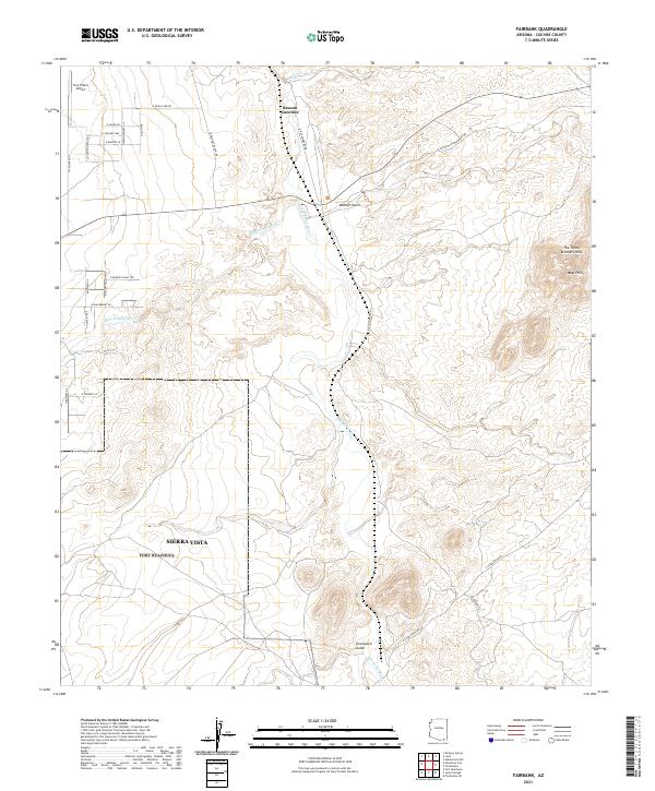
2021 Fairbank
Cochise County, AZ
2021 Fife Peak
Cochise County, AZ
2021 Fisher Hills
Cochise County, AZ
2021 Fort Huachuca
Cochise County, AZ
2021 Galleta Flat East
Cochise County, AZ
2021 Galleta Flat West
Cochise County, AZ
2021 Gleeson SE
Cochise County, AZ
2021 Greasewood Mountain
Cochise County, AZ
2021 Guadalupe Canyon
Cochise County, AZ
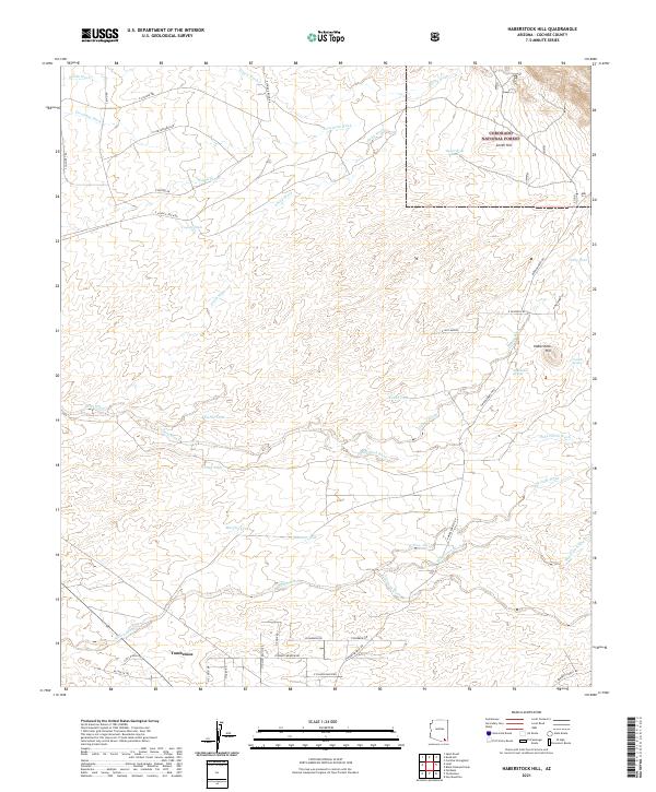
2021 Haberstock Hill
Cochise County, AZ
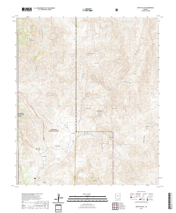
2021 Happy Valley
Cochise County, AZ
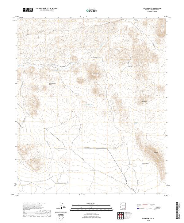
2021 Hay Mountain
Cochise County, AZ
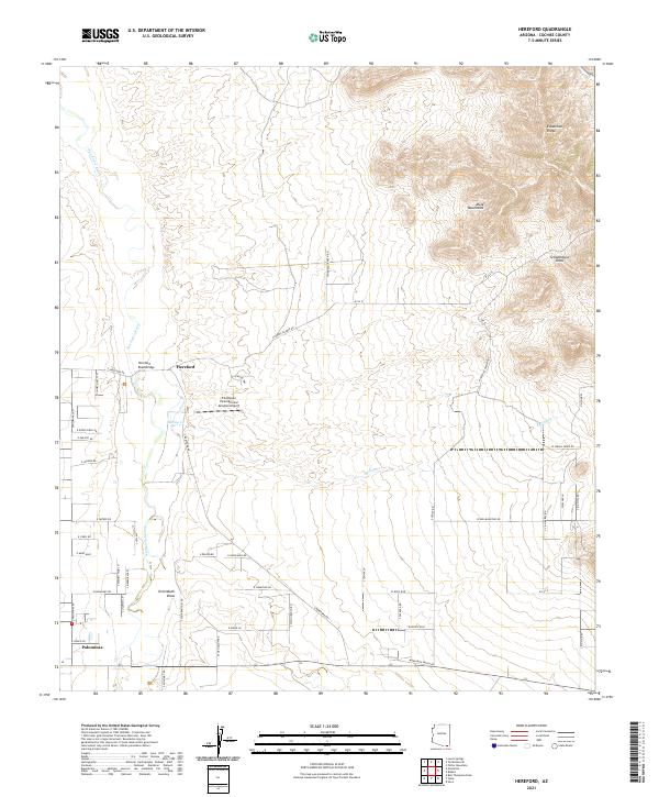
2021 Hereford
Cochise County, AZ
2021 Hookers Hot Springs
Cochise County, AZ
2021 Huachuca Peak
Cochise County, AZ
2021 Knob Hill
Cochise County, AZ
2021 Land
Cochise County, AZ
2021 Leslie Canyon
Cochise County, AZ
2021 Lewis Springs
Cochise County, AZ
2021 Little Wood Canyon
Cochise County, AZ
2021 Luzena
Cochise County, AZ
2021 Martin Well
Cochise County, AZ
2021 McGrew Spring
Cochise County, AZ
2021 Miller Peak
Cochise County, AZ
2021 Million Dollar Tank
Cochise County, AZ
2021 Monk Draw
Cochise County, AZ
2021 Montezuma Pass
Cochise County, AZ
2021 Muskhog Mountain
Cochise County, AZ
2021 Mustang Mountains
Cochise County, AZ
2021 Nicksville
Cochise County, AZ
2021 Olga
Cochise County, AZ
2021 Orange Butte
Cochise County, AZ
2021 Outlaw Mountain
Cochise County, AZ
2021 Paramore Crater
Cochise County, AZ
2021 Pat Hills North
Cochise County, AZ
2021 Pat Hills South
Cochise County, AZ
2021 Paul Spur
Cochise County, AZ
2021 Pearce
Cochise County, AZ
2021 Pedregosa Mountains East
Cochise County, AZ
2021 Pedregosa Mountains West
Cochise County, AZ
2021 Portal
Cochise County, AZ
2021 Portal NE
Cochise County, AZ
2021 Portal Peak
Cochise County, AZ
2021 Potter Mountain
Cochise County, AZ
2021 Pyeatt Ranch
Cochise County, AZ
2021 Railroad Pass
Cochise County, AZ
2021 Red Bird Hills
Cochise County, AZ
2021 Reiley Peak
Cochise County, AZ
2021 Rustler Park
Cochise County, AZ
2021 Ryan Draw
Cochise County, AZ
2021 Saint David
Cochise County, AZ
2021 San Bernardino Ranch
Cochise County, AZ
2021 San Pedro Ranch
Cochise County, AZ
2021 Simmons Peak
Cochise County, AZ
2021 Soza Canyon
Cochise County, AZ
2021 Soza Mesa
Cochise County, AZ
2021 Square Mountain
Cochise County, AZ
2021 Squaretop Hills East
Cochise County, AZ
2021 Squaretop Hills West
Cochise County, AZ
2021 Stanford Canyon
Cochise County, AZ
2021 Stark
Cochise County, AZ
2021 Steele Hills
Cochise County, AZ
2021 Sulphur Hills
Cochise County, AZ
2021 Sulphur Spring
Cochise County, AZ
2021 Swede Peak
Cochise County, AZ
2021 Swisshelm Mountain
Cochise County, AZ
2021 The Mesas
Cochise County, AZ
2021 Tombstone SE
Cochise County, AZ
2021 Turquoise Mountain
Cochise County, AZ
2021 Vanar
Cochise County, AZ
2021 Vanar NW
Cochise County, AZ
2021 West of Greasewood Mountain
Cochise County, AZ
2021 West of Guadalupe Canyon
Cochise County, AZ
2021 Wildhorse Mountain
Cochise County, AZ
2021 Willcox North
Cochise County, AZ
2021 Willcox South
Cochise County, AZ
2023 Apache
Cochise County, AZ
2026 Cherry Spring Peak
Cochise County, AZ
2026 Greasewood Mountain
Cochise County, AZ
2026 Happy Valley
Cochise County, AZ
2026 Hookers Hot Springs
Cochise County, AZ
2026 Muskhog Mountain
Cochise County, AZ
2026 Railroad Pass
Cochise County, AZ
2026 Reiley Peak
Cochise County, AZ
2026 Soza Mesa
Cochise County, AZ
2026 Steele Hills
Cochise County, AZ
2026 The Mesas
Cochise County, AZ
2026 West of Greasewood Mountain
Cochise County, AZ
Featured Locations
- Sierra Vista, AZ
- Huachuca City, AZ
- Fry, Sierra Vista
- Gatewood Housing, Sierra Vista
- Village Meadows, Sierra Vista