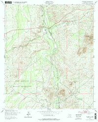
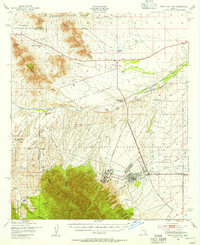
1952 Map of Fairbank
USGS Topo · Published 1979About this map
Fairbank stands as a focal point along the San Pedro River, illustrating the rail-and-ranching landscape of mid-century Cochise County. The Southern Pacific line follows the river valley, connecting the settlement to larger markets while passing several significant cattle operations like Boquillas Ranch and Lindsey Ranch. This geography is shaped by both civilian and military interests, with the eastern boundary of the Fort Huachuca Military Reservation occupying the southwestern portion of the map.
Find a feature on this map
20 named features on this map. Tap any name to fly to it.
Don’t see what you’re looking for? This feature index may not catch every label — zoom into the map to look around manually.
Map Details
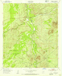
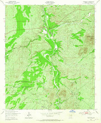
Editions of this 1952 Fairbank Map
3 editions found
Other maps of this area

1915 · Benson
USGS Topo · 1:125,000

1922 · St. David
USGS Topo · 1:62,500

1926 · Whetstone
USGS Topo · 1:62,500

1932 · Fairbank
USGS Topo · 1:62,500

1938 · Huachuca
USGS Topo · 1:62,500

1943 · Benson
USGS Topo · 1:125,000

1948 · Fort Huachuca NE
USGS Topo · 1:24,000
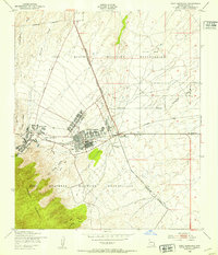
1948 · Fort Huachuca
USGS Topo · 1:24,000
1948 · Fort Huachuca
USGS Topo · 1:62,500

1952 · Tombstone SE
USGS Topo · 1:24,000