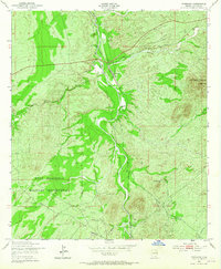
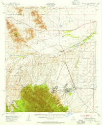
1952 Map of Fairbank
USGS Topo · Published 1965About this map
The San Pedro River corridor in Cochise County serves as the central axis for this mid-century study of the high desert landscape. The settlement of Fairbank stands at a critical junction where the Southern Pacific railroad meets the river, while further downstream, the ruins and structures of Charleston sit near the Charleston Lead Mine. The western portion of the map is dominated by the Fort Huachuca Military Reservation, showcasing the intersection of federal land use and private ranching interests like Boquillas Ranch and Lindsey Ranch. The drainage patterns of Walnut Gulch and Graveyard Gulch illustrate the seasonal hydrology that defined life and transport in this corner of the Arizona territory. Topography is marked by prominent rises such as The Three Brothers Hills and Mays Hills, providing a clear view of the transition from the river bottom to the surrounding upland reaches.
Find a feature on this map
17 named features on this map. Tap any name to fly to it.
Don’t see what you’re looking for? This feature index may not catch every label — zoom into the map to look around manually.
Map Details
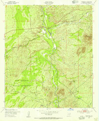
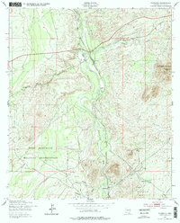
Editions of this 1952 Fairbank Map
3 editions found
Other maps of this area

1915 · Benson
USGS Topo · 1:125,000

1922 · St. David
USGS Topo · 1:62,500

1926 · Whetstone
USGS Topo · 1:62,500

1932 · Fairbank
USGS Topo · 1:62,500

1938 · Huachuca
USGS Topo · 1:62,500

1943 · Benson
USGS Topo · 1:125,000

1948 · Fort Huachuca NE
USGS Topo · 1:24,000
1948 · Fort Huachuca
USGS Topo · 1:24,000
1948 · Fort Huachuca
USGS Topo · 1:62,500

1952 · Tombstone SE
USGS Topo · 1:24,000