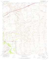
1973 Map of Saint David
USGS Topo · Published 1976About this map
Saint David sits as the central hub of this Arizona landscape, positioned where the San Pedro River flows through the valley. The map documents a critical intersection of transportation and water management in Cochise County during the early 1970s. The Southern Pacific railroad follows the river's path, connecting smaller points like Curtiss and Fenner to the larger rail network. Irrigation is evident through the Saint David Ditch, a vital piece of infrastructure for this arid region.
Find a feature on this map
32 named features on this map. Tap any name to fly to it.
Don’t see what you’re looking for? This feature index may not catch every label — zoom into the map to look around manually.
Map Details
Editions of this 1973 Saint David Map
2 editions found
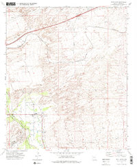
Other maps of this area

1915 · Benson
USGS Topo · 1:125,000

1922 · St. David
USGS Topo · 1:62,500

1926 · Whetstone
USGS Topo · 1:62,500

1943 · Benson
USGS Topo · 1:125,000

1943 · Dragoon
USGS Topo · 1:62,500

1945 · Happy Valley
USGS Topo · 1:62,500

1956 · Nogales
USGS Topo · 1:250,000

1956 · Tucson
USGS Topo · 1:250,000

1958 · Nogales
USGS Topo · 1:250,000

1958 · Tucson
USGS Topo · 1:250,000