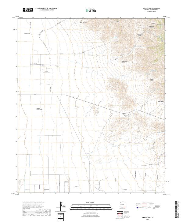
2021 Map of Simmons Peak
USGS Topo · Published 2021About this map
The Dos Cabezas Mountains dominate the northeastern quadrant of this landscape, rising to prominent summits like Simmons Peak and Silver Peak. This high terrain is dissected by numerous drainages, including Silver Camp Canyon and Casey Copper Canyon, which historically served as corridors for mineral exploration. The eastern edge of the Sulphur Springs Valley occupies the western half of the map, showing a transition from the rugged mountain slopes to a broad alluvial plain now marked by a grid of rural roads and residential lanes such as S Collins Farm Rd and E Polly Dr. Isolated water sources like Muskhog Spring and Apache Spring provide critical points of interest in this arid environment. The presence of Butterfield Rd in the southeast hints at the area's deep history as a transportation corridor through the high desert of Cochise County.
Find a feature on this map
53 named features on this map. Tap any name to fly to it.
Don’t see what you’re looking for? This feature index may not catch every label — zoom into the map to look around manually.
Map Details
Editions of this 2021 Simmons Peak Map
This is the sole edition of this map. No revisions or reprints were ever made.
Other maps of this area

1922 · Willcox
USGS Topo · 1:125,000

1943 · Dos Cabezas
USGS Topo · 1:62,500

1943 · Willcox
USGS Topo · 1:62,500

1943 · Cochise
USGS Topo · 1:62,500

1944 · Fisher Hills
USGS Topo · 1:62,500

1954 · Silver City
USGS Topo · 1:250,000

1957 · Dos Cabezas
USGS Topo · 1:62,500

1957 · Luzena
USGS Topo · 1:62,500

1958 · Silver City
USGS Topo · 1:250,000

1958 · Willcox
USGS Topo · 1:62,500