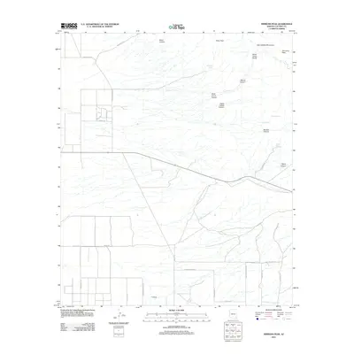
2011 Map of Simmons Peak
USGS Topo · Published 2011About this map
The Dos Cabezas Mountains dominate the northeastern corner of this landscape, characterized by dramatic elevation changes from the valley floor to high points like Simmons Peak and Silver Peak. The terrain is carved by numerous drainages such as Boulder Canyon, Mescal Canyon, and Casey Copper Canyon, names that hint at the region's mineral prospecting history. While the mountainous area remains sparsely developed, the southwestern portion shows a grid of rural residential roads including Kathy Ave and S Collins Farm Rd, indicating small-scale agricultural or homestead growth.
Find a feature on this map
34 named features on this map. Tap any name to fly to it.
Don’t see what you’re looking for? This feature index may not catch every label — zoom into the map to look around manually.
Map Details
Editions of this 2011 Simmons Peak Map
This is the sole edition of this map. No revisions or reprints were ever made.
Other maps of this area

1922 · Willcox
USGS Topo · 1:125,000

1943 · Dos Cabezas
USGS Topo · 1:62,500

1943 · Willcox
USGS Topo · 1:62,500

1943 · Cochise
USGS Topo · 1:62,500

1944 · Fisher Hills
USGS Topo · 1:62,500

1954 · Silver City
USGS Topo · 1:250,000

1957 · Dos Cabezas
USGS Topo · 1:62,500

1957 · Luzena
USGS Topo · 1:62,500

1958 · Silver City
USGS Topo · 1:250,000

1958 · Willcox
USGS Topo · 1:62,500