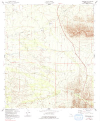
1952 Map of Tombstone SE
USGS Topo · Published 1991About this map
The Mule Mountains dominate the eastern landscape of this early 1950s survey, marking a stark topographical boundary in Cochise County. Down in the drainage flats, Government Draw meanders toward the San Pedro Valley, passing through the territorial limits of the San Rafael Del Valle land grant. The mapping of the Old Railroad Grade provides a clear trace of earlier transportation infrastructure, showing how modern corridors like the Davis Memorial Highway eventually superseded the rail lines that once served the region's ranching and mining interests.
Find a feature on this map
13 named features on this map. Tap any name to fly to it.
Don’t see what you’re looking for? This feature index may not catch every label — zoom into the map to look around manually.
Map Details
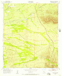
Editions of this 1952 Tombstone SE Map
3 editions found

Other maps of this area

1902 · Bisbee
USGS Topo · 1:62,500

1910 · Bisbee
USGS Topo · 1:62,500

1914 · Hereford
USGS Topo · 1:125,000

1915 · Benson
USGS Topo · 1:125,000

1916 · Pearce
USGS Topo · 1:125,000

1916 · Douglas
USGS Topo · 1:125,000

1919 · Douglas
USGS Topo · 1:125,000

1925 · Gleeson
USGS Topo · 1:62,500

1927 · Bisbee
USGS Topo · 1:62,500

1932 · Stark
USGS Topo · 1:62,500