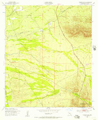
1952 Map of Tombstone SE
USGS Topo · Published 1957About this map
San Rafael Del Valle and the southern foothills of the Mule Mountains dominate this early 1950s survey of the high desert terrain southeast of Tombstone. The landscape is defined by the legacy of ranching and transportation, featuring the Jefferson Davis Memorial Highway cutting across the eastern slopes. Evidence of earlier settlement is found in the scattered locations of Keller Ranch, Trappman Ranch, and Johnson Ranch, alongside unnamed sites marked simply as Ruin and Ruins.
Find a feature on this map
13 named features on this map. Tap any name to fly to it.
Don’t see what you’re looking for? This feature index may not catch every label — zoom into the map to look around manually.
Map Details
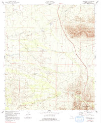
Editions of this 1952 Tombstone SE Map
3 editions found

Other maps of this area

1902 · Bisbee
USGS Topo · 1:62,500

1910 · Bisbee
USGS Topo · 1:62,500

1914 · Hereford
USGS Topo · 1:125,000

1915 · Benson
USGS Topo · 1:125,000

1916 · Pearce
USGS Topo · 1:125,000

1916 · Douglas
USGS Topo · 1:125,000

1919 · Douglas
USGS Topo · 1:125,000

1925 · Gleeson
USGS Topo · 1:62,500

1927 · Bisbee
USGS Topo · 1:62,500

1932 · Stark
USGS Topo · 1:62,500