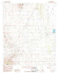
1985 Map of Cochise
USGS Topo · Published 1985About this map
Cochise sits at the northern end of a valley where the steel of the Southern Pacific railroad meets a landscape of military activity and natural basins. The town's infrastructure, including prominent Storage Bins, reflects its role as a shipping point along the rail line during the mid-1980s. To the east, the vast Willcox Playa Lake and the Willcox Bombing Range define a flat, alkaline expanse restricted for military use, while the western horizon is dominated by the Dragoon Mountains and Dragoon Peak. This environment is a study in contrasts between the high-elevation slopes of the Coronado National Forest and the desert floor drainage patterns of Walnut Wash and Big Draw. The presence of several Wells and a pervasive Pipeline network highlights the ongoing management of water and energy resources across this arid terrain.
Find a feature on this map
19 named features on this map. Tap any name to fly to it.
Don’t see what you’re looking for? This feature index may not catch every label — zoom into the map to look around manually.
Map Details
Editions of this 1985 Cochise Map
2 editions found
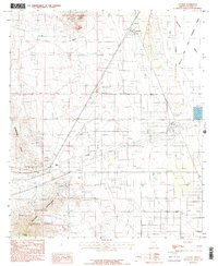
Other maps of this area

1915 · Benson
USGS Topo · 1:125,000

1916 · Pearce
USGS Topo · 1:125,000

1922 · Willcox
USGS Topo · 1:125,000

1922 · St. David
USGS Topo · 1:62,500

1926 · Courtland
USGS Topo · 1:62,500

1943 · Benson
USGS Topo · 1:125,000

1943 · Cochise
USGS Topo · 1:62,500

1943 · Dragoon
USGS Topo · 1:62,500

1954 · Silver City
USGS Topo · 1:250,000

1955 · Douglas
USGS Topo · 1:250,000