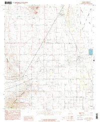
1985 Map of Cochise
USGS Topo · Published 1985About this map
The settlement of Cochise sits at a geographic crossroads between the high desert peaks and the vast alkali flats of the Willcox Playa. This 1985 survey illustrates a landscape defined by heavy infrastructure and resource extraction, with the Southern Pacific Railroad running parallel to the Willcox Bombing Range. To the southwest, the Dragoon Mountains and Dragoon Peak rise sharply out of the basin, their slopes marked by numerous prospects, a Mine Shaft, and the rugged boundaries of the Coronado National Forest. In the lower elevations, the presence of a Power Plant with Cooling Towers and several Storage Bins near the rail line points to the mid-century industrial utility of the area. A small Cem and a Landing Strip provide specific points of interest for genealogists and local historians tracing the development of this Cochise County corridor.
Find a feature on this map
28 named features on this map. Tap any name to fly to it.
Don’t see what you’re looking for? This feature index may not catch every label — zoom into the map to look around manually.
Map Details
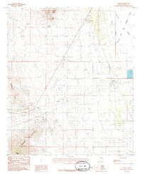
Editions of this 1985 Cochise Map
2 editions found
Other maps of this area

1915 · Benson
USGS Topo · 1:125,000

1916 · Pearce
USGS Topo · 1:125,000

1922 · Willcox
USGS Topo · 1:125,000

1922 · St. David
USGS Topo · 1:62,500

1926 · Courtland
USGS Topo · 1:62,500

1943 · Benson
USGS Topo · 1:125,000

1943 · Cochise
USGS Topo · 1:62,500

1943 · Dragoon
USGS Topo · 1:62,500

1954 · Silver City
USGS Topo · 1:250,000

1955 · Douglas
USGS Topo · 1:250,000