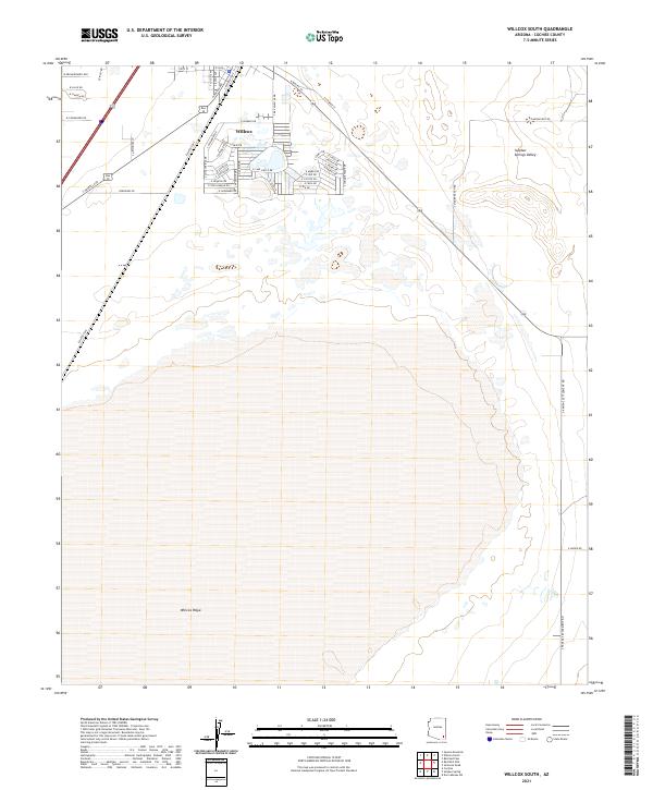
2021 Map of Willcox South
USGS Topo · Published 2021About this map
The vast expanse of the Willcox Playa dominates this modern study of southeastern Arizona, showing the dramatic dry lake bed south of the city of Willcox. Within the Sulphur Springs Valley, the landscape transitions from the residential and commercial street grids of the town into the immense, flat playa. Notable urban features include the corridor along S Haskell Ave and the namesake S Rex Allen Jr Dr, which reflects the local cultural history of the area. The map illustrates a clear boundary between the developed surroundings of the city and the natural alkaline flats of the playa, with many streets such as Geronimo Dr and S Alexander Dr extending toward the basin's edge. The industrial and transit legacy of the region is further evidenced by S Railroad Ave, tracing the historical transportation path that facilitated the growth of this cattle-country hub.
Find a feature on this map
54 named features on this map. Tap any name to fly to it.
Don’t see what you’re looking for? This feature index may not catch every label — zoom into the map to look around manually.
Map Details
Editions of this 2021 Willcox South Map
This is the sole edition of this map. No revisions or reprints were ever made.
Other maps of this area

1922 · Willcox
USGS Topo · 1:125,000

1943 · Dos Cabezas
USGS Topo · 1:62,500

1943 · Willcox
USGS Topo · 1:62,500

1943 · Cochise
USGS Topo · 1:62,500

1944 · Fisher Hills
USGS Topo · 1:62,500

1954 · Silver City
USGS Topo · 1:250,000

1957 · Dos Cabezas
USGS Topo · 1:62,500

1957 · Luzena
USGS Topo · 1:62,500

1958 · Silver City
USGS Topo · 1:250,000

1958 · Willcox
USGS Topo · 1:62,500