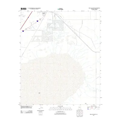
2011 Map of Willcox South
USGS Topo · Published 2011About this map
The Willcox Playa, a massive endorheic dry lake bed, dominates the southern half of this landscape just outside the growing settlement of Willcox. The map reveals a transition from the structured street grid of the town—defined by corridors like Railroad Ave and E Stewart St—into the agricultural and ranching outskirts. Residential development patterns are evident near Lake Circle Dr and Fairway Dr, while the outlying areas are characterized by larger land holdings such as Flanders Ranch and the long arterial of S Kansas Settlement Rd. The juxtaposition of concentrated town infrastructure against the vast, open expanse of the playa illustrates the unique desert hydrology of the northern Sulphur Springs Valley during the early 21st century.
Find a feature on this map
19 named features on this map. Tap any name to fly to it.
Don’t see what you’re looking for? This feature index may not catch every label — zoom into the map to look around manually.
Map Details
Editions of this 2011 Willcox South Map
This is the sole edition of this map. No revisions or reprints were ever made.
Other maps of this area

1922 · Willcox
USGS Topo · 1:125,000

1943 · Dos Cabezas
USGS Topo · 1:62,500

1943 · Willcox
USGS Topo · 1:62,500

1943 · Cochise
USGS Topo · 1:62,500

1944 · Fisher Hills
USGS Topo · 1:62,500

1954 · Silver City
USGS Topo · 1:250,000

1957 · Dos Cabezas
USGS Topo · 1:62,500

1957 · Luzena
USGS Topo · 1:62,500

1958 · Silver City
USGS Topo · 1:250,000

1958 · Willcox
USGS Topo · 1:62,500