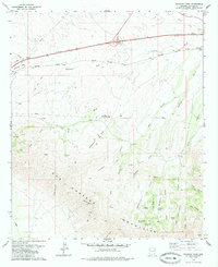
1979 Map of Railroad Pass
USGS Topo · Published 1985About this map
The northern slopes of the Dos Cabezas Mountains descend into a complex network of draws and gulches in this late 1970s survey. The landscape is defined by its transit corridors, dominated by the Southern Pacific Railroad and a major pipeline corridor that parallel each other across the northern flats. Small rail-side locations like Raso and Luzena serve as primary points of orientation in an otherwise arid expanse.
Find a feature on this map
38 named features on this map. Tap any name to fly to it.
Don’t see what you’re looking for? This feature index may not catch every label — zoom into the map to look around manually.
Map Details
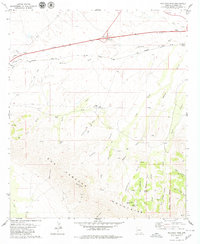
Editions of this 1979 Railroad Pass Map
2 editions found
Other maps of this area

1922 · Willcox
USGS Topo · 1:125,000

1943 · Dos Cabezas
USGS Topo · 1:62,500

1943 · Willcox
USGS Topo · 1:62,500

1943 · Cochise
USGS Topo · 1:62,500

1944 · Fisher Hills
USGS Topo · 1:62,500

1954 · Silver City
USGS Topo · 1:250,000

1957 · Dos Cabezas
USGS Topo · 1:62,500

1957 · Luzena
USGS Topo · 1:62,500

1958 · Silver City
USGS Topo · 1:250,000

1958 · Willcox
USGS Topo · 1:62,500