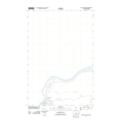
2011 Map of Fort Kent North
USGS Topo · Published 2011About this map
The Saint John River forms a major international border crossing here, defining the landscape of Fort Kent during the early 21st century. This survey focuses on the northern periphery of the town, where the Fish River flows north to meet the main channel at Fish River Island. The geography is characterized by several smaller waterways feeding the Saint John, including the Audibert Brook and Regiest Daigle Brook. Local infrastructure is well-defined by a network of roads such as Highland Ave and Charette Hill Rd, while University Dr indicates the town's role as an educational center. The map's layout reflects the traditional river-valley settlement pattern, where development closely follows the water's edge and the surrounding hillsides.
Find a feature on this map
14 named features on this map. Tap any name to fly to it.
Don’t see what you’re looking for? This feature index may not catch every label — zoom into the map to look around manually.
Map Details
Editions of this 2011 Fort Kent North Map
This is the sole edition of this map. No revisions or reprints were ever made.
Other maps of this area

1927 · Square Lake
USGS Topo · 1:48,000

1928 · Eagle Lake
USGS Topo · 1:48,000

1931 · Square Lake
USGS Topo · 1:62,500

1931 · Eagle Lake
USGS Topo · 1:62,500

1932 · Frenchville
USGS Topo · 1:48,000

1932 · Fort Kent
USGS Topo · 1:48,000

1935 · Fort Kent
USGS Topo · 1:62,500

1935 · Frenchville
USGS Topo · 1:62,500

1953 · Square Lake
USGS Topo · 1:62,500

1962 · Edmundston
USGS Topo · 1:250,000