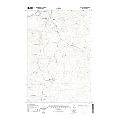
2014 Map of Fort Kent South
USGS Topo · Published 2014About this map
The Fish River carves a deep valley through this portion of Aroostook County, serving as a central artery for the communities of Soldier Pond and Wallagrass. Near the northern border, the landscape centers on the industrial and residential cluster of Fort Kent Mills and Fort Kent Village, where the International Bridge connects the United States and Canada. This 2014 survey illustrates a region defined by its timber and agricultural heritage, evidenced by locations like Plourde Mill and the upland clearing of Michigan Settlement.
Find a feature on this map
70 named features on this map. Tap any name to fly to it.
Don’t see what you’re looking for? This feature index may not catch every label — zoom into the map to look around manually.
Map Details
Editions of this 2014 Fort Kent South Map
This is the sole edition of this map. No revisions or reprints were ever made.
Other maps of this area

1927 · Square Lake
USGS Topo · 1:48,000

1928 · Eagle Lake
USGS Topo · 1:48,000

1931 · Square Lake
USGS Topo · 1:62,500

1931 · Eagle Lake
USGS Topo · 1:62,500

1932 · Frenchville
USGS Topo · 1:48,000

1932 · Fort Kent
USGS Topo · 1:48,000

1935 · Fort Kent
USGS Topo · 1:62,500

1935 · Frenchville
USGS Topo · 1:62,500

1953 · Square Lake
USGS Topo · 1:62,500

1962 · Edmundston
USGS Topo · 1:250,000