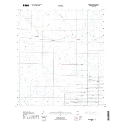
2018 Map of Fort Kissimmee SE
USGS Topo · Published 2018About this map
Florida National Scenic Trail cuts a diagonal path through the northern half of this central Florida landscape, crossing the slow-moving waters of Sevenmile Slough. The area is defined by its low-lying hydrology, where water dictates the land use and the layout of the sparse road network. In the west, Duck Slough and Wolf Sawgrass Pond indicate a seasonally wet environment that transitioned into the Dead Pine Island Marsh to the east. While the northern sections remain largely undeveloped, dominated by these natural drainage patterns, the southeastern corner shows a rigid grid of numbered roads such as 298th St and NW 320th St, suggesting rural residential or agricultural subdivision encroaching upon the historic wetlands of Okeechobee County.
Find a feature on this map
56 named features on this map. Tap any name to fly to it.
Don’t see what you’re looking for? This feature index may not catch every label — zoom into the map to look around manually.
Map Details
Editions of this 2018 Fort Kissimmee SE Map
This is the sole edition of this map. No revisions or reprints were ever made.
Other maps of this area

1952 · Fort Kissimmee
USGS Topo · 1:24,000

1952 · Fort Kissimmee NW
USGS Topo · 1:24,000

1953 · Taylor Creek NW
USGS Topo · 1:24,000

1953 · Basinger
USGS Topo · 1:24,000

1953 · Fort Kissimmee NE
USGS Topo · 1:24,000

1953 · Fort Drum SW
USGS Topo · 1:24,000

1953 · Fort Drum NW
USGS Topo · 1:24,000

1953 · Basinger NW
USGS Topo · 1:24,000

1953 · Fort Kissimmee SE
USGS Topo · 1:24,000

1956 · Fort Pierce
USGS Topo · 1:250,000