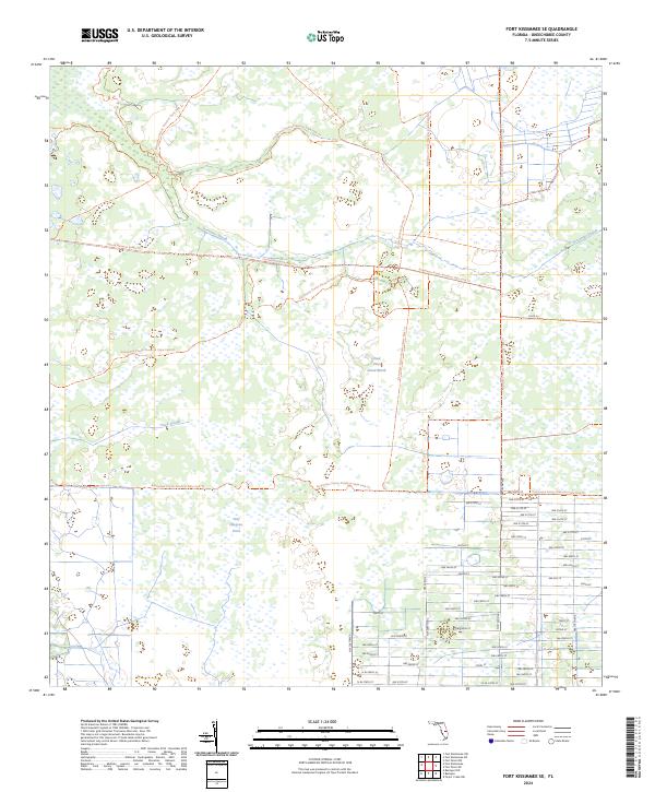
2024 Map of Fort Kissimmee SE
USGS Topo · Published 2024About this map
Everglades Headwaters National Wildlife Refuge and Conservation Area occupies a significant portion of this landscape, reflecting a modern era of environmental preservation in Okeechobee County. The area is defined by its complex drainage patterns and seasonal wetlands, with named features like Sevenmile Slough and Duck Slough cutting through the prairie terrain. The map reveals a transition from these protected natural spaces to a rigid grid of local roads in the southeast, including NW 320th St and NW 286th St. Recreational access is highlighted by the passage of the Florida National Scenic Trail and the extensive Kissimmee Prairie Preserve State Park Trail, which together provide a network for traversing the marshes of Dead Pine Island Marsh and the waters near Wolf Sawgrass Pond.
Find a feature on this map
52 named features on this map. Tap any name to fly to it.
Don’t see what you’re looking for? This feature index may not catch every label — zoom into the map to look around manually.
Map Details
Editions of this 2024 Fort Kissimmee SE Map
This is the sole edition of this map. No revisions or reprints were ever made.
Other maps of this area

1952 · Fort Kissimmee
USGS Topo · 1:24,000

1952 · Fort Kissimmee NW
USGS Topo · 1:24,000

1953 · Taylor Creek NW
USGS Topo · 1:24,000

1953 · Basinger
USGS Topo · 1:24,000

1953 · Fort Kissimmee NE
USGS Topo · 1:24,000

1953 · Fort Drum SW
USGS Topo · 1:24,000

1953 · Fort Drum NW
USGS Topo · 1:24,000

1953 · Basinger NW
USGS Topo · 1:24,000

1953 · Fort Kissimmee SE
USGS Topo · 1:24,000

1956 · Fort Pierce
USGS Topo · 1:250,000