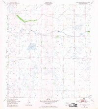
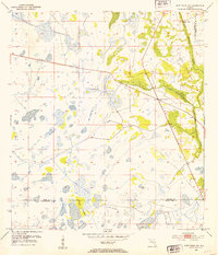
1953 Map of Fort Kissimmee SE
USGS Topo · Published 1969About this map
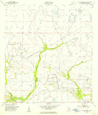
Old Railroad Grade and the Peavine Trail run north-to-south through this expansive Okeechobee County landscape, indicating a history of transit and resource extraction in a region dominated by wetlands. Surveyed in the early 1950s, the terrain is defined by complex drainage systems such as Sevenmile Slough and Duck Slough, which weave through numerous cypress ponds and marshy depressions. The presence of the Dead Pine Island Marsh in the northeast sector highlights the isolated hummocks and islands typical of the Florida interior. This period of mapping by the U.S. Geological Survey shows the land before significant modern development, preserving the footprint of early inland infrastructure and the natural hydrology of the Kissimmee River basin area.
Find a feature on this map
6 named features on this map. Tap any name to fly to it.
Don’t see what you’re looking for? This feature index may not catch every label — zoom into the map to look around manually.
Map Details
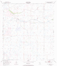
Editions of this 1953 Fort Kissimmee SE Map
3 editions found
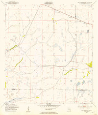
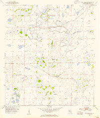
Other maps of this area
1952 · Fort Kissimmee
USGS Topo · 1:24,000
1952 · Fort Kissimmee NW
USGS Topo · 1:24,000
1953 · Taylor Creek NW
USGS Topo · 1:24,000
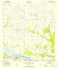
1953 · Basinger
USGS Topo · 1:24,000
1953 · Fort Kissimmee NE
USGS Topo · 1:24,000
1953 · Fort Drum SW
USGS Topo · 1:24,000
1953 · Fort Drum NW
USGS Topo · 1:24,000
1953 · Basinger NW
USGS Topo · 1:24,000
1953 · Fort Kissimmee SE
USGS Topo · 1:24,000

1956 · Fort Pierce
USGS Topo · 1:250,000