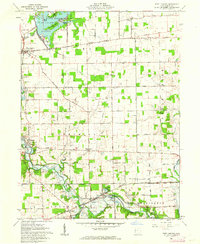
1961 Map of Fort Loramie
USGS Topo · Published 1962About this map
Lake Loramie and its numerous islands, such as Blackberry Island and Crawford Island, dominate the northern portion of this West-Central Ohio survey. The landscape reflects a complex layering of 19th-century infrastructure and early 20th-century recreation, where the Miami Canal No 1 and the New York Central railroad corridors intersect the historic boundary of the Treaty Line Road. This survey documents a critical point in Ohio's land division, noting the transition between the First Principal Meridian to the north and the Great Miami River Base to the south.
Find a feature on this map
63 named features on this map. Tap any name to fly to it.
Don’t see what you’re looking for? This feature index may not catch every label — zoom into the map to look around manually.
Map Details
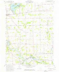
Editions of this 1961 Fort Loramie Map
2 editions found
Other maps of this area

1909 · Loramie
USGS Topo · 1:62,500

1911 · Loramie
USGS Topo · 1:62,500

1911 · Covington
USGS Topo · 1:62,500

1913 · Sidney
USGS Topo · 1:62,500

1914 · Troy
USGS Topo · 1:62,500

1944 · Covington
USGS Topo · 1:62,500

1944 · Sidney
USGS Topo · 1:62,500

1944 · Loramie
USGS Topo · 1:62,500

1944 · Troy
USGS Topo · 1:62,500

1953 · Muncie
USGS Topo · 1:250,000