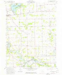
1961 Map of Fort Loramie
USGS Topo · Published 1977About this map
The Greenville Treaty Line cuts diagonally across this landscape, serving as a reminder of the frontier boundary that once defined the Northwest Territory. In the early 1960s, the area is characterized by the expansive Lake Loramie and its surrounding Lake Loramie State Park, which encompasses several named landforms including Blackberry Island and Crawford Island. The agricultural terrain is dotted with small communities like Fort Loramie, Newport, and Houston, each anchored by local landmarks such as the High Sch or numerous country churches and cemeteries.
Find a feature on this map
58 named features on this map. Tap any name to fly to it.
Don’t see what you’re looking for? This feature index may not catch every label — zoom into the map to look around manually.
Map Details
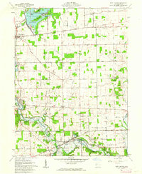
Editions of this 1961 Fort Loramie Map
2 editions found
Other maps of this area

1909 · Loramie
USGS Topo · 1:62,500

1911 · Loramie
USGS Topo · 1:62,500

1911 · Covington
USGS Topo · 1:62,500

1913 · Sidney
USGS Topo · 1:62,500

1914 · Troy
USGS Topo · 1:62,500

1944 · Covington
USGS Topo · 1:62,500

1944 · Sidney
USGS Topo · 1:62,500

1944 · Loramie
USGS Topo · 1:62,500

1944 · Troy
USGS Topo · 1:62,500

1953 · Muncie
USGS Topo · 1:250,000