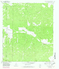
1970 Map of Fort McKavett NE
USGS Topo · Published 1982About this map
F A N D H O I L Field dominates the northwest corner of this West Texas landscape, where the boundary between Schleicher Co and Menard Co cuts through a terrain defined by ranching and resource extraction. The map illustrates a network of scattered Oil Wells and Gravel Pits interspersed with isolated agricultural outposts like White Ranch and Russell Ranch.
Find a feature on this map
16 named features on this map. Tap any name to fly to it.
Don’t see what you’re looking for? This feature index may not catch every label — zoom into the map to look around manually.
Map Details
Editions of this 1970 Fort McKavett NE Map
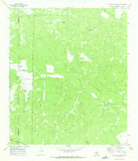
2 editions found
Other maps of this area

1892 · San Angelo
USGS Topo · 1:125,000

1892 · Eden
USGS Topo · 1:125,000

1893 · Fort McKavett
USGS Topo · 1:125,000

1896 · Eden
USGS Topo · 1:125,000

1954 · Brownwood
USGS Topo · 1:250,000

1954 · Llano
USGS Topo · 1:250,000

1954 · Sonora
USGS Topo · 1:250,000

1954 · San Angelo
USGS Topo · 1:250,000

1955 · Llano
USGS Topo · 1:250,000

1956 · Llano
USGS Topo · 1:250,000