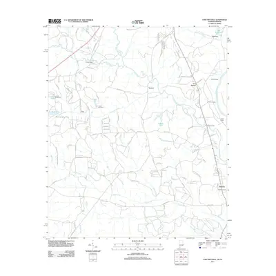
2011 Map of Fort Mitchell
USGS Topo · Published 2011About this map
Fort Mitchell stands as a central landmark in this portion of Russell County, Alabama, overlooking the eastern bend of the Chattahoochee River. The area is defined by its deep historical and military ties, containing both the Mitchell National Cemetery and a portion of Fort Benning. Small settlements like Lato, Nuckols, and Oswichee are scattered across a landscape drained by the winding Uchee Creek and its many tributaries, including Sevenmile Creek and Coupen Creek. The presence of several dams, such as the Yuchi Lake Dam and Snyder Pond Dam, indicates a managed water system supporting local lakes and ponds. Researchers will find numerous rural road networks, like Old Seale Hwy and Tarver Rd, connecting these older communities to the river landings and family-named cemeteries that anchor the local heritage.
Find a feature on this map
107 named features on this map. Tap any name to fly to it.
Don’t see what you’re looking for? This feature index may not catch every label — zoom into the map to look around manually.
Map Details
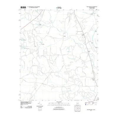
Editions of this 2011 Fort Mitchell Map
2 editions found
Other maps of this area

1908 · Columbus
USGS Topo · 1:62,500

1914 · Seale
USGS Topo · 1:62,500

1929 · Columbus
USGS Topo · 1:48,000

1947 · Columbus
USGS Topo · 1:62,500

1949 · Fort Mitchell
USGS Topo · 1:24,000

1949 · Julia
USGS Topo · 1:24,000

1949 · Columbus
USGS Topo · 1:24,000

1950 · Fort Benning
USGS Topo · 1:24,000

1950 · Crawford
USGS Topo · 1:24,000

1950 · Seale
USGS Topo · 1:24,000