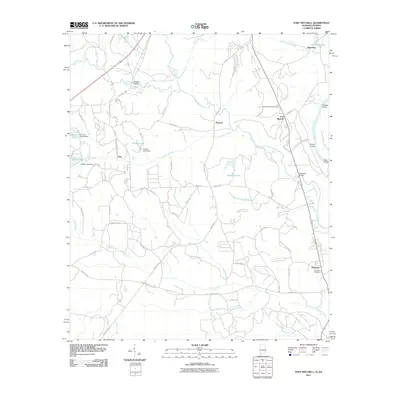
2011 Map of Fort Mitchell
USGS Topo · Published 2011About this map
Fort Mitchell stands as the focal point of this Eastern Alabama landscape, situated near the winding Chattahoochee River as it forms the border with Georgia. The area is defined by a dense network of tributaries including Uchee Creek, Cowpen Creek, and Ihagee Creek, which have shaped the local topography and settlement patterns. Local history is anchored by the Mitchell National Cemetery and the community of Oswichee, where the Oswichee Cemetery remains a significant genealogical landmark.
Find a feature on this map
76 named features on this map. Tap any name to fly to it.
Don’t see what you’re looking for? This feature index may not catch every label — zoom into the map to look around manually.
Map Details
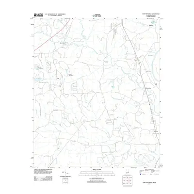
Editions of this 2011 Fort Mitchell Map
2 editions found
Other maps of this area

1908 · Columbus
USGS Topo · 1:62,500

1914 · Seale
USGS Topo · 1:62,500

1929 · Columbus
USGS Topo · 1:48,000

1947 · Columbus
USGS Topo · 1:62,500

1949 · Fort Mitchell
USGS Topo · 1:24,000

1949 · Julia
USGS Topo · 1:24,000

1949 · Columbus
USGS Topo · 1:24,000

1950 · Fort Benning
USGS Topo · 1:24,000

1950 · Crawford
USGS Topo · 1:24,000

1950 · Seale
USGS Topo · 1:24,000