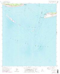
1958 Map of Fort Morgan
USGS Topo · Published 1983About this map
Fort Morgan and Fort Gaines stand as dual sentinels at the mouth of Mobile Bay, anchoring this coastal survey. This mid-century view, updated with early 1980s aerial data, reveals a shifting maritime landscape where the Main Channel cuts between Mobile Point and the eastern tip of Dauphin Island. Coastal features like the Dauphin Island Spit and Pelican Island illustrate the dynamic nature of the Alabama shoreline. Navigational markers are prominent throughout the pass, including the Sand Island Lighthouse, Mobile Point Light, and the Front Range Light. On the islands, local landmarks such as Alligator Lake, Oleander Pond, and a Golf Course indicate the area's development into a coastal destination. The map also identifies specialized maritime zones, such as a Cable Area and a dedicated Anchorage for Explosives in the bay.
Find a feature on this map
30 named features on this map. Tap any name to fly to it.
Don’t see what you’re looking for? This feature index may not catch every label — zoom into the map to look around manually.
Map Details
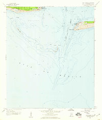
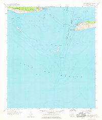
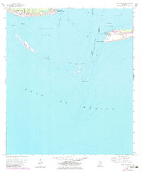
Editions of this 1958 Fort Morgan Map
4 editions found
Other maps of this area

1921 · Point Clear
USGS Topo · 1:62,500

1921 · Dauphin Island
USGS Topo · 1:62,500

1921 · Delchamps
USGS Topo · 1:62,500

1941 · Cedar Point
USGS Topo · 1:62,500

1941 · Weeks Bay
USGS Topo · 1:62,500

1942 · Fort Morgan
USGS Topo · 1:62,500

1943 · Cedar Point
USGS Topo · 1:62,500

1943 · Weeks Bay
USGS Topo · 1:62,500

1953 · Mobile
USGS Topo · 1:250,000

1957 · Mobile
USGS Topo · 1:250,000