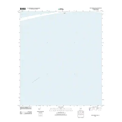
2011 Map of Fort Morgan NW
USGS Topo · Published 2011About this map
Dauphin Island stretches across the northern margin of this maritime survey, marking the slender barrier between the open waters of the Gulf of Mexico and the Mississippi Sound. This chart focuses almost entirely on the aquatic expanse south of the island, documenting the bathymetric and coastal environment of the Alabama shoreline in the early twenty-first century. The mapping of the island's southern edge provides a precise record of the coastline before subsequent decades of erosion and tropical weather events altered the sandy fringes of this sensitive coastal region.
Find a feature on this map
3 named features on this map. Tap any name to fly to it.
Don’t see what you’re looking for? This feature index may not catch every label — zoom into the map to look around manually.
Map Details
Editions of this 2011 Fort Morgan NW Map
This is the sole edition of this map. No revisions or reprints were ever made.
Other maps of this area

1921 · Grand Bay
USGS Topo · 1:62,500

1921 · Petit Bois Island
USGS Topo · 1:62,500

1921 · Dauphin Island
USGS Topo · 1:62,500

1921 · Delchamps
USGS Topo · 1:62,500

1941 · Cedar Point
USGS Topo · 1:62,500

1942 · Petit Bois Island
USGS Topo · 1:62,500

1942 · Fort Morgan
USGS Topo · 1:62,500

1943 · Cedar Point
USGS Topo · 1:62,500

1943 · Grand Bay
USGS Topo · 1:62,500

1953 · Mobile
USGS Topo · 1:250,000