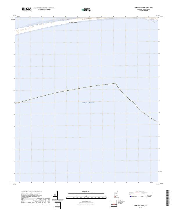
2025 Map of Fort Morgan NW
USGS Topo · Published 2025About this map
Dauphin Island stretches along the northern edge of this coastal survey, where the terrestrial world meets the expanse of the Gulf of America. This specific maritime reach is dominated by the open waters south of the barrier island chain, providing a clear visualization of the modern shoreline and maritime boundaries. Along the narrow strip of land, Bienville Blvd serves as the primary East-West artery, anchoring the developed portion of the island and connecting its coastal residential and recreational areas. The map highlights the vulnerability and linear nature of these barrier island settlements, where the local infrastructure is intrinsically tied to the shifting sands and tidal influences of the Gulf.
Find a feature on this map
4 named features on this map. Tap any name to fly to it.
Don’t see what you’re looking for? This feature index may not catch every label — zoom into the map to look around manually.
Map Details
Editions of this 2025 Fort Morgan NW Map
This is the sole edition of this map. No revisions or reprints were ever made.
Other maps of this area

1921 · Grand Bay
USGS Topo · 1:62,500

1921 · Petit Bois Island
USGS Topo · 1:62,500

1921 · Dauphin Island
USGS Topo · 1:62,500

1921 · Delchamps
USGS Topo · 1:62,500

1941 · Cedar Point
USGS Topo · 1:62,500

1942 · Petit Bois Island
USGS Topo · 1:62,500

1942 · Fort Morgan
USGS Topo · 1:62,500

1943 · Cedar Point
USGS Topo · 1:62,500

1943 · Grand Bay
USGS Topo · 1:62,500

1953 · Mobile
USGS Topo · 1:250,000