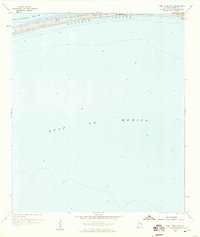
1958 Map of Fort Morgan NW
USGS Topo · Published 1959About this map
Dauphin Island is captured during a pivotal moment of mid-century development in Alabama, showing the emerging residential layout along Bienville Blvd. This 1958 topographic study provides a detailed view of the barrier island's narrow eastern reach, where the settlement of Dauphin Island sits between the relatively calm waters of the Mississippi Sound and the open Gulf of Mexico. The survey reflects a transitional period when the island was transforming into a coastal community, documented by planetable surveys and hydrographic data from the late 1950s. Most of the sheet is dedicated to the offshore depths of the Gulf, mapping the underwater contours and soundings that defined these navigation routes decades ago.
Find a feature on this map
5 named features on this map. Tap any name to fly to it.
Don’t see what you’re looking for? This feature index may not catch every label — zoom into the map to look around manually.
Map Details
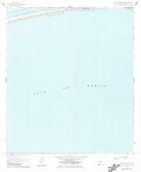
Editions of this 1958 Fort Morgan NW Map
2 editions found
Other maps of this area

1921 · Grand Bay
USGS Topo · 1:62,500

1921 · Petit Bois Island
USGS Topo · 1:62,500

1921 · Dauphin Island
USGS Topo · 1:62,500

1921 · Delchamps
USGS Topo · 1:62,500

1941 · Cedar Point
USGS Topo · 1:62,500

1942 · Petit Bois Island
USGS Topo · 1:62,500

1942 · Fort Morgan
USGS Topo · 1:62,500

1943 · Cedar Point
USGS Topo · 1:62,500

1943 · Grand Bay
USGS Topo · 1:62,500

1953 · Mobile
USGS Topo · 1:250,000