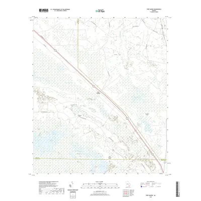
2020 Map of Fort Mudge
USGS Topo · Published 2020About this map
Fort Mudge sits at the northern edge of the sprawling wetlands where Ware, Brantley, and Charlton Counties meet. This landscape is defined by the transition from upland pine flatwoods into the expansive Okefenokee Swamp, a region of intricate water systems and isolated dry elevations. Named landmarks like Cowhouse Island, Corncob Island, and Boat Landing Island rise above the surrounding swamp, indicating areas of slightly higher ground that have historically served as navigational points or seasonal grazing lands.
Find a feature on this map
32 named features on this map. Tap any name to fly to it.
Don’t see what you’re looking for? This feature index may not catch every label — zoom into the map to look around manually.
Map Details
Editions of this 2020 Fort Mudge Map
This is the sole edition of this map. No revisions or reprints were ever made.
Other maps of this area

1918 · Folkston
USGS Topo · 1:62,500

1953 · Waycross
USGS Topo · 1:250,000

1954 · Valdosta
USGS Topo · 1:250,000

1958 · Valdosta
USGS Topo · 1:250,000

1958 · Waycross
USGS Topo · 1:250,000

1959 · Valdosta
USGS Topo · 1:250,000

1965 · Double Lakes
USGS Topo · 1:24,000

1965 · Dinner Pond
USGS Topo · 1:24,000
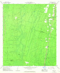
1966 · Winokur
USGS Topo · 1:24,000
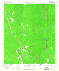
1966 · Newell
USGS Topo · 1:24,000