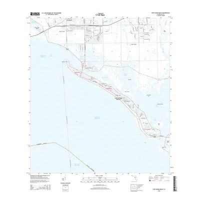
2015 Map of Fort Myers Beach
USGS Topo · Published 2015About this map
Estero Island serves as the primary barrier between the Gulf of Mexico and the intricate aquatic network of Estero Bay in this recent survey of Florida’s southwest coast. The map captures the dense residential and commercial expansion of Fort Myers Beach, where Estero Blvd acts as the main artery through the town. To the north, San Carlos Island is linked to the mainland near Truckland and Bunche Beach by the winding path of San Carlos Blvd.
Find a feature on this map
92 named features on this map. Tap any name to fly to it.
Don’t see what you’re looking for? This feature index may not catch every label — zoom into the map to look around manually.
Map Details
Editions of this 2015 Fort Myers Beach Map
This is the sole edition of this map. No revisions or reprints were ever made.
Other maps of this area

1956 · West Palm Beach
USGS Topo · 1:250,000

1956 · Tampa
USGS Topo · 1:250,000

1956 · Charlotte Harbor
USGS Topo · 1:250,000

1957 · West Palm Beach
USGS Topo · 1:250,000

1958 · West Palm Beach
USGS Topo · 1:250,000

1958 · Bonita Springs
USGS Topo · 1:24,000

1958 · Estero
USGS Topo · 1:24,000

1958 · Fort Myers SW
USGS Topo · 1:24,000

1958 · Sanibel
USGS Topo · 1:24,000

1958 · Pine Island Center
USGS Topo · 1:24,000