Loading...
Loading map...2025 Map of Fort Myers Beach
USGS Topo · Published 2025About this map
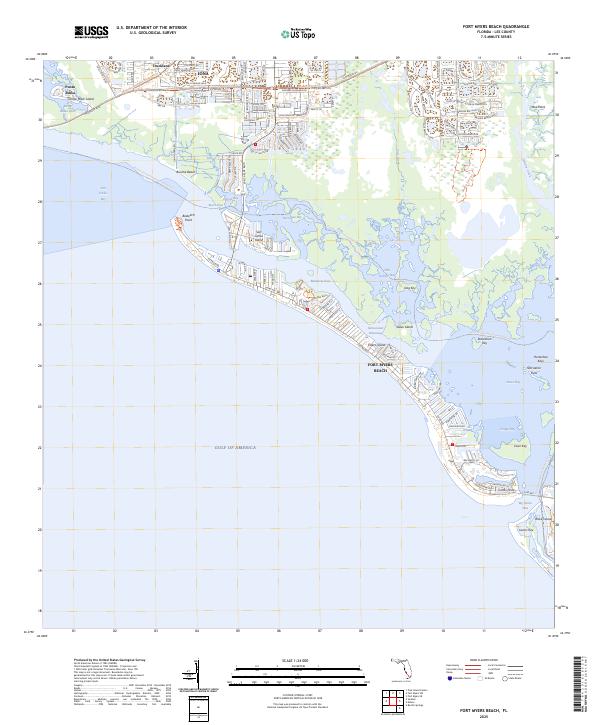
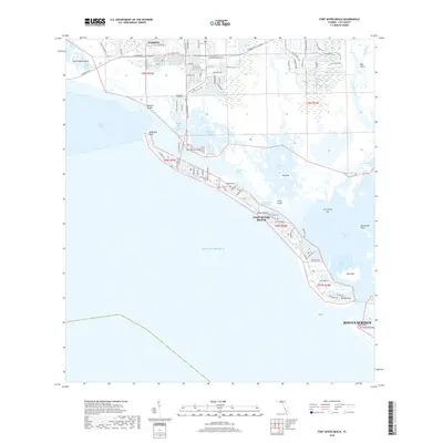
Estero Island and its dense residential streetscapes define this modern coastal survey of Lee County, stretching from the tip of Bodwitch Point down to the southern reaches of Black Island. The barrier island geography is punctuated by significant waterways like Matanzas Pass and Hell Peckney Bay, which separate the coastal resorts from the mainland settlements of Iona and Punta Rassa.
Find a feature on this map
68 named features on this map. Tap any name to fly to it.
Don’t see what you’re looking for? This feature index may not catch every label — zoom into the map to look around manually.
Map Details
Date Portrayed2025
Date Published2025
PublisherU.S. Geological Survey
Map TypeTopographic
Scale1:24,000
Physical Dimensions24 x 29 inches
Editions of this 2025 Fort Myers Beach Map
This is the sole edition of this map. No revisions or reprints were ever made.
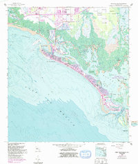
Historical Maps of Fort Myers Beach Through Time
7 maps found


Featured Locations
Source Details
SourceU.S. Geological Survey
CopyrightPublic Domain