2024 Map of Fort Myers NW
USGS Topo · Published 2024About this map
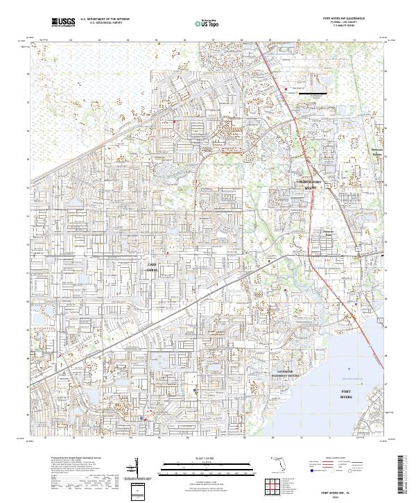
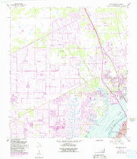
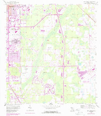
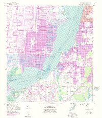
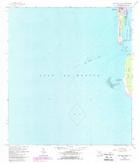
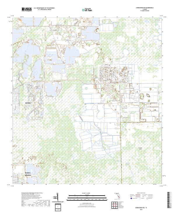
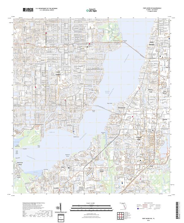
Cape Coral and North Fort Myers dominate this detailed modern survey of Lee County's evolving coastal landscape. The map highlights the extensive network of residential canals and managed waterways characteristic of southwest Florida development, including the Gator Slough Canal and the prominent Okeechobee Waterway. The layout of mid-to-late 20th-century residential expansion is visible in the structured grids of Lochmoor Waterway Estates and the planned streets surrounding Palmona Park. Local administrative and community anchors are noted, such as the Lee Government Center and Coral Ridge Gardens Cemetery. Natural drainage patterns still persist alongside the massive canal works, traced through Yellow Fever Creek, Hancock Creek, and the small Blue Cypress Lake. The region's connectivity is defined by major corridors like the N Tamiami Trail and Cleveland Ave, illustrating the transition from natural wetlands to a densely populated maritime suburban environment.
Find a feature on this map
30 named features on this map. Tap any name to fly to it.
Don’t see what you’re looking for? This feature index may not catch every label — zoom into the map to look around manually.
Map Details
Editions of this 2024 Fort Myers NW Map
This is the sole edition of this map. No revisions or reprints were ever made.
Historical Maps of Mangrove Bay Condos Through Time
16 maps found
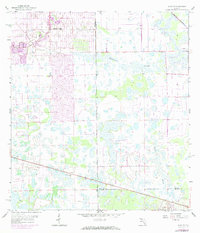
1958 Alva SE
Lee County, FL
1958 Alva SW
Lee County, FL
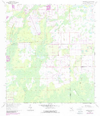
1958 Corkscrew NW
Lee County, FL
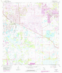
1958 Fort Myers NW
Lee County, FL
1958 Fort Myers SE
Lee County, FL
1958 Fort Myers SW
Lee County, FL
1958 Port Boca Grande
Lee County, FL
1958 Wulfert
Lee County, FL
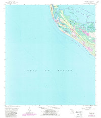
2024 Alva SE
Lee County, FL
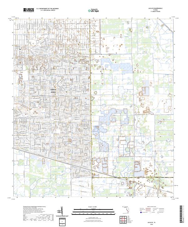
2024 Alva SW
Lee County, FL
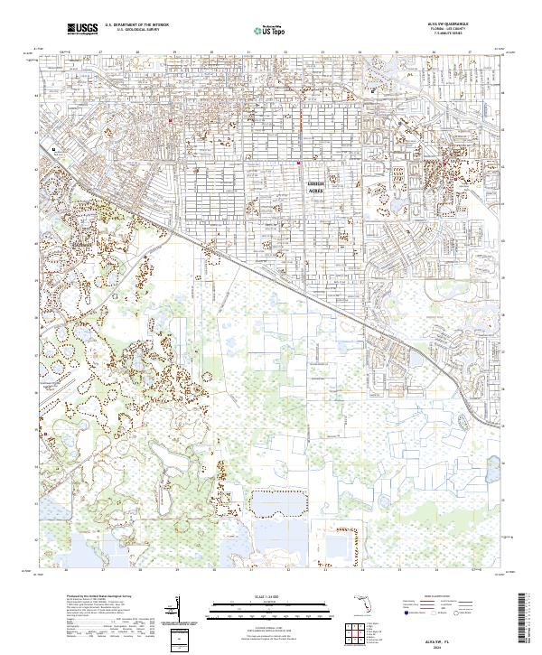
2024 Corkscrew NW
Lee County, FL
2024 Fort Myers NW
Lee County, FL
2024 Fort Myers SE
Lee County, FL
2024 Fort Myers SW
Lee County, FL
2025 Port Boca Grande
Lee County, FL
2025 Wulfert
Lee County, FL
Featured Locations
- Cape Coral, FL
- Fort Myers, FL
- Marina Town Condo Apartments, FL
- North Fort Myers, FL
- Swan Lake Travel Trailer Park, FL