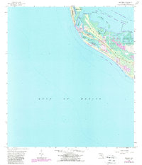
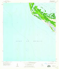
1958 Map of Wulfert
USGS Topo · Published 1988About this map
Sanibel Island and the neighboring Captiva Island reveal an intricate network of coastal hydrology and conservation efforts in this mid-century survey. The settlement of Wulfert sits along the Wulfert Channel, surrounded by the expansive Pine Island Sound Aquatic Preserve. The map illustrates the shifting geography of the Lee County coastline, documenting features such as Old Blind Pass and Clam Bayou, which punctuate the western shore. Much of the interior landscape is dedicated to the J. N. (Ding) Darling National Wildlife Refuge, while public access is noted at Bowmans Beach County Park. This record of the barrier islands captures the area before significant modern residential expansion, showing early roads and local landmarks like Halloway Bayou and Dinken Bayou against the backdrop of the Gulf of Mexico.
Find a feature on this map
25 named features on this map. Tap any name to fly to it.
Don’t see what you’re looking for? This feature index may not catch every label — zoom into the map to look around manually.
Map Details
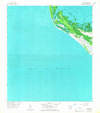
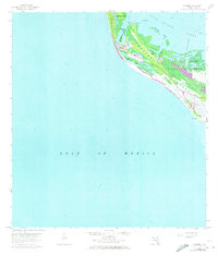
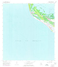
Editions of this 1958 Wulfert Map
5 editions found
Other maps of this area

1956 · Tampa
USGS Topo · 1:250,000

1956 · Charlotte Harbor
USGS Topo · 1:250,000

1958 · Captiva
USGS Topo · 1:24,000

1958 · Sanibel
USGS Topo · 1:24,000

1958 · Pine Island Center
USGS Topo · 1:24,000
1958 · Wulfert
USGS Topo · 1:24,000

1959 · Tampa
USGS Topo · 1:250,000

1960 · Tampa
USGS Topo · 1:250,000

1972 · Tampa
USGS Topo · 1:250,000
1981 · Sanibel
USGS Topo · 1:100,000