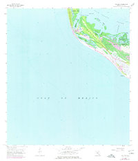
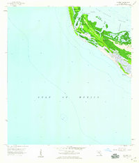
1958 Map of Wulfert
USGS Topo · Published 1977About this map
Captiva Island and Sanibel Island meet at the narrow inlet of Blind Pass in this topographic study, which captures the complex coastal morphology of Lee County prior to significant modern development. The map details the western edge of Sanibel Island, centered on the small settlement of Wulfert and the extensive acreage of the J. N. (Ding) Darling National Wildlife Refuge. The landscape is defined by an intricate network of mangrove-lined waterways, including Dinken Bayou, Hardworking Bayou, and Kesson Bayou. Hydrographic data from 1956 and aerial photography from 1972 provide a layered view of the shifting shoreline, showing the relationship between Pine Island Sound and the Gulf of Mexico. Notable features such as Old Blind Pass and Silver Key Bayou illustrate the natural evolution of these barrier islands.
Find a feature on this map
24 named features on this map. Tap any name to fly to it.
Don’t see what you’re looking for? This feature index may not catch every label — zoom into the map to look around manually.
Map Details
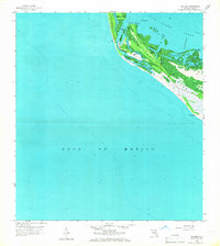
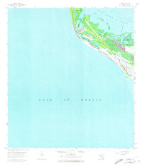
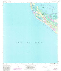
Editions of this 1958 Wulfert Map
5 editions found
Other maps of this area

1956 · Tampa
USGS Topo · 1:250,000

1956 · Charlotte Harbor
USGS Topo · 1:250,000

1958 · Captiva
USGS Topo · 1:24,000

1958 · Sanibel
USGS Topo · 1:24,000

1958 · Pine Island Center
USGS Topo · 1:24,000
1958 · Wulfert
USGS Topo · 1:24,000

1959 · Tampa
USGS Topo · 1:250,000

1960 · Tampa
USGS Topo · 1:250,000

1972 · Tampa
USGS Topo · 1:250,000
1981 · Sanibel
USGS Topo · 1:100,000