
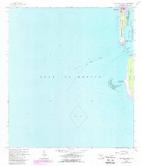
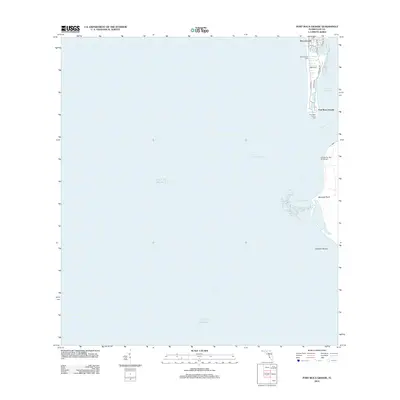
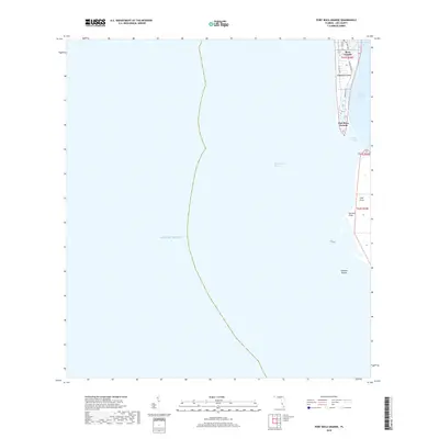
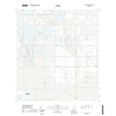
1958 Map of Wulfert
USGS Topo · Published 1973About this map
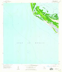
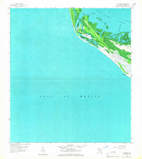
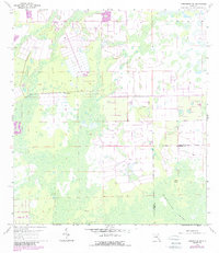
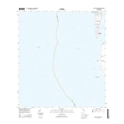
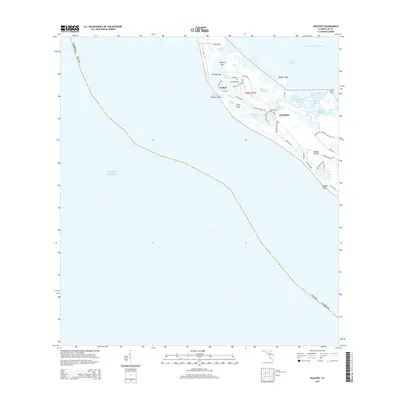
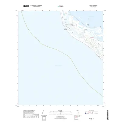
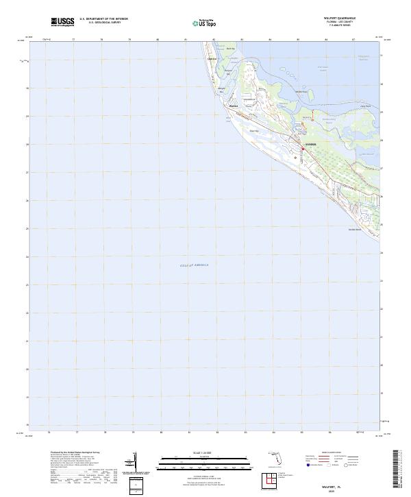
Sanibel Island and Captiva Island dominate this coastal survey, which highlights the transition of the northern island landscape before significant development changed the Gulf coast. At the heart of the region, the J N (Ding) Darling National Wildlife Refuge preserves a network of waterways including Dinken Bayou and Halloway Bayou. The small settlement of Wulfert is situated near the Wulfert Channel, reflecting the maritime orientation of early residents. The movement of the shoreline is evident at Blind Pass and Old Blind Pass, where shifting sands frequently altered the connection between the Gulf of Mexico and Pine Island Sound. This edition includes purple revisions from 1972, showing emerging residential patterns and roads appearing among the mangroves and keys.
Find a feature on this map
25 named features on this map. Tap any name to fly to it.
Don’t see what you’re looking for? This feature index may not catch every label — zoom into the map to look around manually.
Map Details
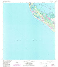
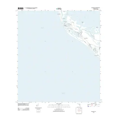
Editions of this 1958 Wulfert Map
5 editions found

Historical Maps of Sanibel Through Time
50 maps found
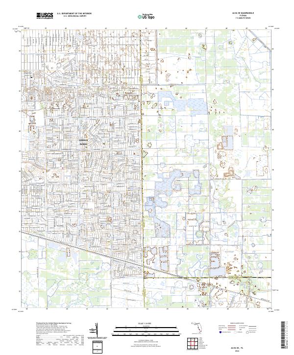
1958 Alva SE
Lee County, FL
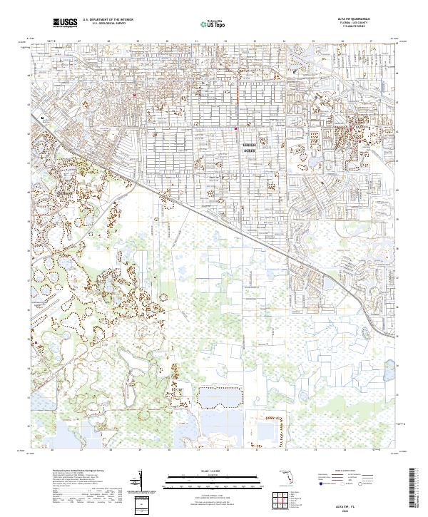
1958 Alva SW
Lee County, FL
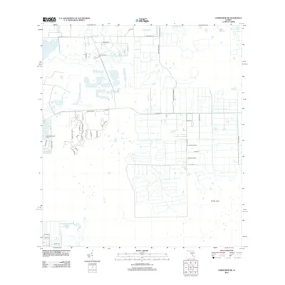
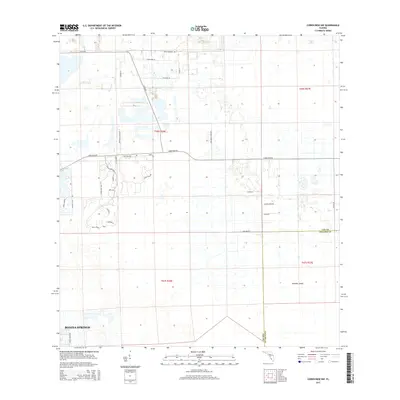
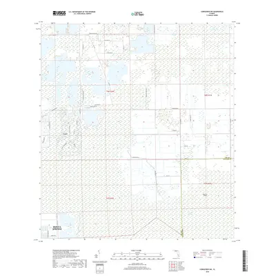
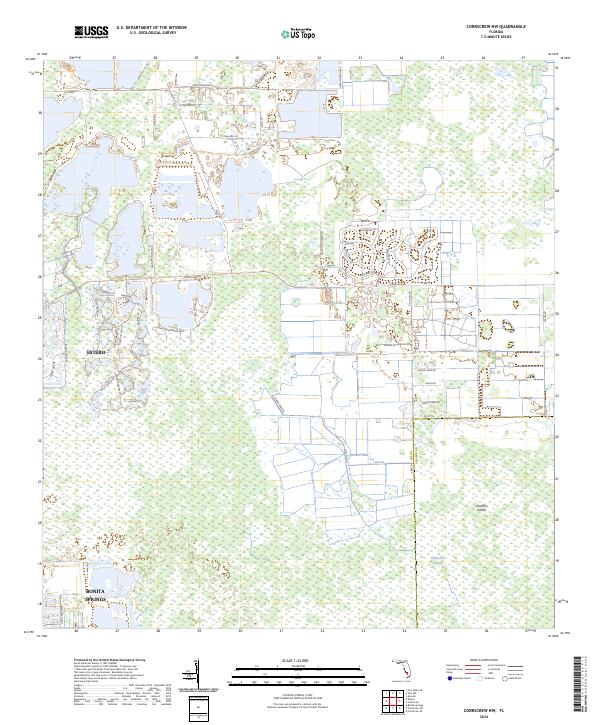
1958 Corkscrew NW
Lee County, FL
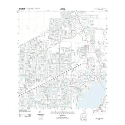
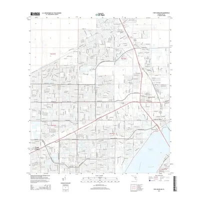
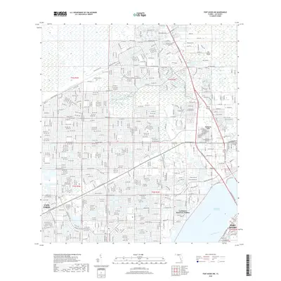
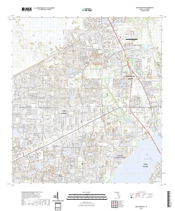
1958 Fort Myers NW
Lee County, FL
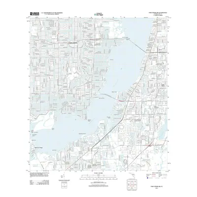
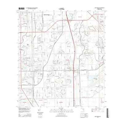
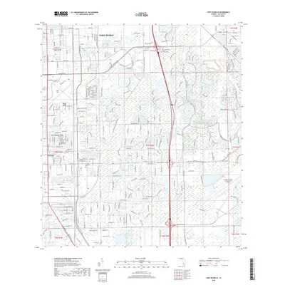
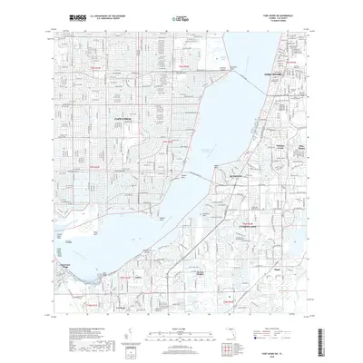
1958 Fort Myers SE
Lee County, FL
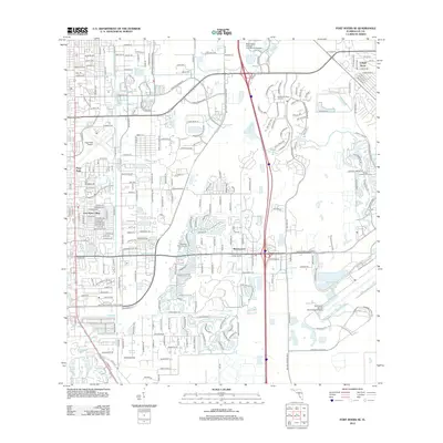
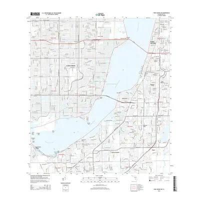
1958 Fort Myers SW
Lee County, FL
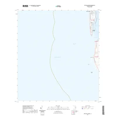
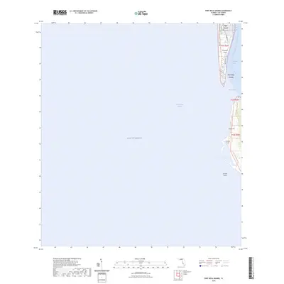
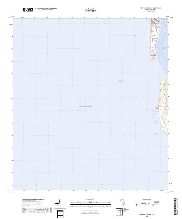
1958 Port Boca Grande
Lee County, FL
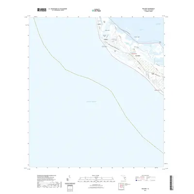
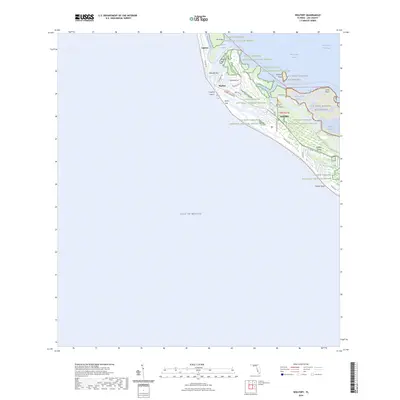
1958 Wulfert
Lee County, FL
2012 Alva SE
Lee County, FL
2012 Alva SW
Lee County, FL
2012 Corkscrew NW
Lee County, FL
2012 Fort Myers NW
Lee County, FL
2012 Fort Myers SE
Lee County, FL
2012 Fort Myers SW
Lee County, FL
2012 Port Boca Grande
Lee County, FL
2012 Wulfert
Lee County, FL
2015 Alva SE
Lee County, FL
2015 Alva SW
Lee County, FL
2015 Corkscrew NW
Lee County, FL
2015 Fort Myers NW
Lee County, FL
2015 Fort Myers SE
Lee County, FL
2015 Fort Myers SW
Lee County, FL
2015 Port Boca Grande
Lee County, FL
2015 Wulfert
Lee County, FL
2018 Alva SE
Lee County, FL
2018 Alva SW
Lee County, FL
2018 Corkscrew NW
Lee County, FL
2018 Fort Myers NW
Lee County, FL
2018 Fort Myers SE
Lee County, FL
2018 Fort Myers SW
Lee County, FL
2018 Port Boca Grande
Lee County, FL
2018 Wulfert
Lee County, FL
2021 Alva SE
Lee County, FL
2021 Alva SW
Lee County, FL
2021 Corkscrew NW
Lee County, FL
2021 Fort Myers NW
Lee County, FL
2021 Fort Myers SE
Lee County, FL
2021 Fort Myers SW
Lee County, FL
2021 Port Boca Grande
Lee County, FL
2021 Wulfert
Lee County, FL
2024 Alva SE
Lee County, FL
2024 Alva SW
Lee County, FL
2024 Corkscrew NW
Lee County, FL
2024 Fort Myers NW
Lee County, FL
2024 Fort Myers SE
Lee County, FL
2024 Fort Myers SW
Lee County, FL
2024 Port Boca Grande
Lee County, FL
2024 Wulfert
Lee County, FL
2025 Port Boca Grande
Lee County, FL
2025 Wulfert
Lee County, FL