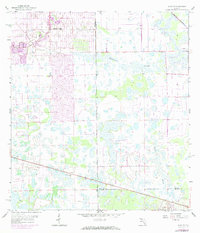
1958 Map of Alva SE
USGS Topo · Published 1984About this map
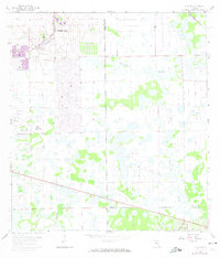
Lehigh Acres expands across the northwestern quadrant of this map, reflecting a mid-century period of suburban planning in Lee County. The street grid is clearly delineated, contrasting with the vast wetlands to the south and east. These lowland areas are dominated by drainage patterns like Twelvemile Slough and Fussel Slough, which define the natural landscape. Further south, the Corkscrew Lookout Tower stands as a lonely sentinel near the junction of Lee, Hendry, and Collier counties. This region demonstrates the gradual encroachment of residential development into the Florida interior, where new roads and a Golf Course began to replace the natural flow of Carson Gully. The map illustrates the convergence of three county lines, serving as a boundary study for this transition between the expanding town and the undeveloped sloughs.
Find a feature on this map
9 named features on this map. Tap any name to fly to it.
Don’t see what you’re looking for? This feature index may not catch every label — zoom into the map to look around manually.
Map Details
Editions of this 1958 Alva SE Map
3 editions found

Other maps of this area

1956 · West Palm Beach
USGS Topo · 1:250,000

1957 · West Palm Beach
USGS Topo · 1:250,000

1958 · West Palm Beach
USGS Topo · 1:250,000

1958 · Corkscrew NW
USGS Topo · 1:24,000

1958 · Immokalee
USGS Topo · 1:24,000

1958 · Felda
USGS Topo · 1:24,000

1958 · Olga
USGS Topo · 1:24,000

1958 · Alva SW
USGS Topo · 1:24,000

1958 · Alva
USGS Topo · 1:24,000

1958 · Sears
USGS Topo · 1:24,000