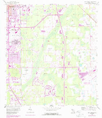
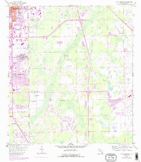
1958 Map of Fort Myers SE
USGS Topo · Published 1988About this map
Fort Myers Villas and Page Park mark the suburban expansion south of the city core during the mid-20th century. The landscape is defined by the heavy presence of aviation and drainage infrastructure, with the historic Page Field situated near the County Home while the more modern Southwest Florida Regional Airport occupies the southeastern reaches. Extensive hydrological engineering is visible through the Tenmile Canal and numerous Flowing Wells that punctuate the coastal lowlands. Cultural and recreational sites of the era include the Drive-in Theater near Lakes Co Pk and the Jr High Sch serving the northern residential districts. The Csx rail line provides a transit spine for the region, cutting through a mix of established neighborhoods and undeveloped green spaces like Nalle Grade Co Park.
Find a feature on this map
18 named features on this map. Tap any name to fly to it.
Don’t see what you’re looking for? This feature index may not catch every label — zoom into the map to look around manually.
Map Details
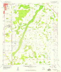
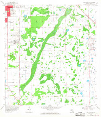
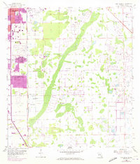
Editions of this 1958 Fort Myers SE Map
5 editions found
Other maps of this area

1956 · West Palm Beach
USGS Topo · 1:250,000

1957 · West Palm Beach
USGS Topo · 1:250,000

1958 · West Palm Beach
USGS Topo · 1:250,000

1958 · Corkscrew NW
USGS Topo · 1:24,000

1958 · Fort Myers NW
USGS Topo · 1:24,000

1958 · Estero
USGS Topo · 1:24,000

1958 · Fort Myers SW
USGS Topo · 1:24,000

1958 · Olga
USGS Topo · 1:24,000

1958 · Alva SW
USGS Topo · 1:24,000

1958 · Fort Myers
USGS Topo · 1:24,000